
The site map
Catalog site · Mediterranean · Statues and archaeology
Parco sommerso di Baia
Bacoli (Naples), Italy
Approximate position (within about 2 km) · 40.8237° N, 14.0862° E
OpenFreeMap © OpenMapTiles © OpenStreetMap contributors
Divers who’ve been here can share their route and photos, each at its depth. You can see them with an account. It’s free.
- Deepest route
- 5m
- Water in November
- 20.2°C
- Certification for the easiest route
- Open Water (down to 18 m)
- Type
- archaeological
- Access
- By boat
Routes
- Ninfeo di Claudio5 m
Open Water (down to 18 m)
According to the sources: No certification (Discover Scuba too)
- Villa a Protiro
Certification to be checked (depth not found)
Depth not found
Surface water temperature
Best time not found in the sources
2023–2025 average. Below the thermocline the water can be colder.
Species you can see
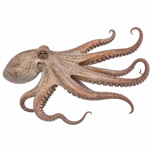
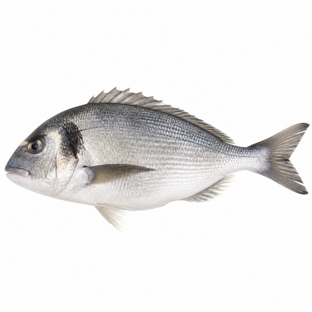
Also mentioned: groupers
Rules, permits and fees
Marine Protected Area; dives guided by authorised centres, max 4 divers per guide
Notes and conflicting data
Five main sites: Portus Julius, Secca delle Fumose, Ninfeo di Claudio, Villa dei Pisoni, Villa a Protiro
Sources
- padi.com · profondità, difficoltà
- blog.padi.com · siti
- italia.it · polpi, orate; cernie
Coordinates source: OpenStreetMap relation/area del Parco sommerso di Baia (centro); Wikidata Q3895759
Temperatures: our averages of data from Open-Meteo (CC BY 4.0). Map and many coordinates: © OpenStreetMap contributors (ODbL).
Data checked on Oct 26, 2026.