
Where to dive
308 sites in 62 countries: routes at their depth, water month by month, species. No account needed.
The six seas
Tap a sea or a country: the map opens right there.
90 sites
123 routes
20°C water in November

Indo-Pacific
- Indonesia 22
- Philippines 11
- Thailand 10
- Malaysia 8
- Maldives 4
and 14 more
80 sites
94 routes
29°C water in November
60 sites
74 routes
29°C water in November
44 sites
64 routes
20°C water in November
19 sites
21 routes
22°C water in November
15 sites
28 routes
27°C water in November

When to go
Each cell says how many sites of that sea are in their best months. Tap a cell: the map opens with that sea and that month.
In November: 122 sites in their best months
See them on the map| Sea | ||||||||||||
|---|---|---|---|---|---|---|---|---|---|---|---|---|
| Mediterranean69 sites | 1 | 1 | 2 | 6 | 52 | 65 | 55 | 55 | 64 | 55 | 1 | 1 |
| Indo-Pacific80 sites | 39 | 41 | 54 | 68 | 53 | 37 | 35 | 37 | 38 | 52 | 50 | 44 |
| Caribbean53 sites | 43 | 42 | 43 | 43 | 41 | 23 | 20 | 20 | 21 | 21 | 28 | 43 |
| Atlantic39 sites | 12 | 12 | 13 | 17 | 22 | 27 | 32 | 33 | 35 | 33 | 17 | 13 |
| Eastern Pacific19 sites | 10 | 10 | 9 | 6 | 8 | 5 | 8 | 8 | 11 | 14 | 13 | 9 |
| Red Sea15 sites | 2 | 2 | 9 | 13 | 12 | 7 | 6 | 6 | 9 | 14 | 13 | 2 |
Share of that sea’s sites:0up to ¼up to ½up to ¾over ¾
This counts the 275 sites whose sources give the best months; for the other 33 they don’t.
Who you’ll meet
The most cited in the catalogue’s sites. Tap a figure for its card.
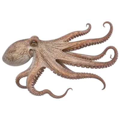 Common octopus
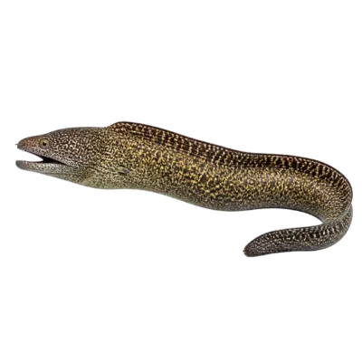 Mediterranean moray
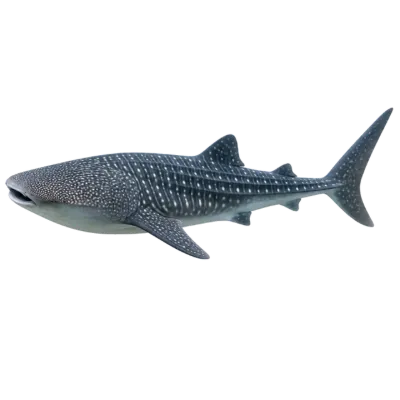 Whale shark
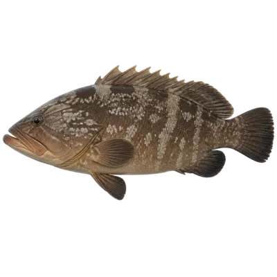 Dusky grouper
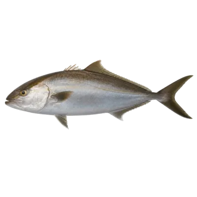 Greater amberjack
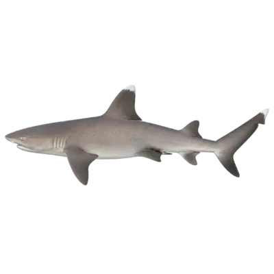 Whitetip reef shark
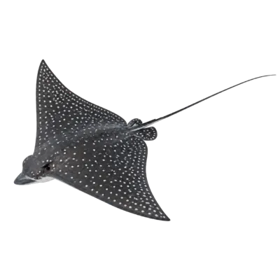 Spotted eagle ray
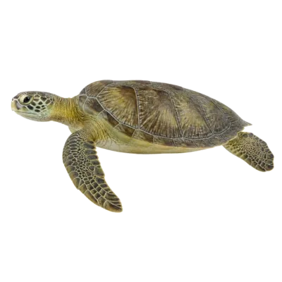 Green sea turtle
Where to start
Three sites to start with. Or all 308 on the map, with filters for country, sea, certification, month, species and type.
The rest is inside the app
You can read the catalogue without an account. What divers add is inside the app, free:
- Shared spots: other divers’ routes, with photos at their depth
- Your saved places and the photo logbook
- The Dive Planner on the PADI tables and your stats
Site information comes from public sources, cited on each card, and may be incomplete or out of date. Check it with a local dive centre before you dive.
Temperatures: our averages of data from Open-Meteo (CC BY 4.0). Map and many coordinates: © OpenStreetMap contributors (ODbL).