
The site map
Catalog site · Mediterranean · Wreck, Shoal or pinnacle
Bajo de Fuera
Cabo de Palos-Islas Hormigas Marine Reserve (Murcia), Spain
Approximate position (within about 2 km) · 37.6558° N, 0.6491° W
OpenFreeMap © OpenMapTiles © OpenStreetMap contributors
Divers who’ve been here can share their route and photos, each at its depth. You can see them with an account. It’s free.
- Deepest route
- 65m
- Water in November
- 18.5°C
- Certification for the easiest route
- Technical (beyond 40 m)
- Type
- shoal, wrecks
- Access
- By boat
Routes
- Shoal and wrecks3–65 m
Technical (beyond 40 m)
Beyond 54 m on the wrecks
Surface water temperature
Best months to dive: June–October
Source: travel.padi.com (the source covers the area, not just this site)
2023–2025 average. Below the thermocline the water can be colder.
Species you can see
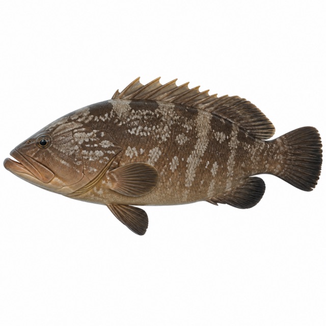
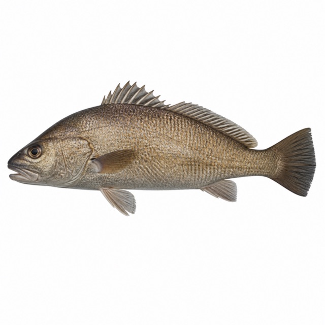
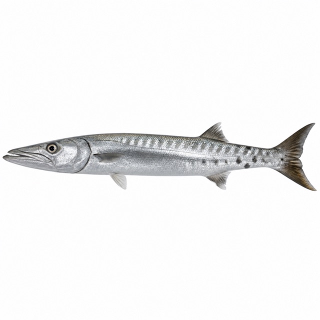
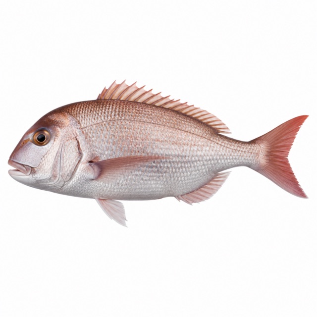
Rules, permits and fees
Marine reserve since 1995; fully protected zone with an anchoring ban. An old source mentions a ministerial authorisation: to be checked
Notes and conflicting data
Shoal 100 m long with spires 3 m below the surface. Other sites: Bajo de Dentro 3-50 m, Bajo de la Testa 8-24 m
Sources
- turismoregiondemurcia.es · profondità, siti
- itrem.carm.es · riserva
- europe.oceana.org · Epinephelus marginatus, Sciaena umbra, Sphyraena viridensis, Dentex dentex
Coordinates source: OpenStreetMap (Islas Hormigas, riserva marina); fonti: secca a mezzo miglio dalla Hormiga
Temperatures: our averages of data from Open-Meteo (CC BY 4.0). Map and many coordinates: © OpenStreetMap contributors (ODbL).
Data checked on Oct 26, 2026.