
The site map
Catalog site · Red Sea · Wall, Cave or cenote
Blue Hole (Dahab)
Dahab, Gulf of Aqaba, Egypt
Position: exact site · 28.5723° N, 34.5374° E
OpenFreeMap © OpenMapTiles © OpenStreetMap contributors
Divers who’ve been here can share their route and photos, each at its depth. You can see them with an account. It’s free.
- Deepest route
- 56m
- Water in November
- 25.7°C
- Visibility
- 25–40m
- Certification for the easiest route
- Advanced (down to 30 m)
- Type
- wall, sinkhole
- Access
- From shore
- Entry
- From shore; entry at The Bells (chimney) and exit over the saddle of the Blue Hole
- Current
- None inside the sinkhole; strong current reported near the site (PADI)
Routes
- The Bells → Blue Hole6–27 m
Advanced (down to 30 m)
According to the sources: AOW (PADI, Lonely Planet: advanced)
Chimney down to the ledge at 27 m, then wall up to the saddle at 6-7 m
- Arch52–56 m
Technical (beyond 40 m)
According to the sources: Technical only
Beyond recreational limits: this is where the fatal accidents happen
with penetration: needs a specific certification
Surface water temperature
Best months to dive: March–May, September–November
Source: divessi.com
2023–2025 average. Below the thermocline the water can be colder.
Species you can see
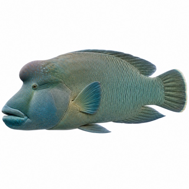 Humphead wrasse
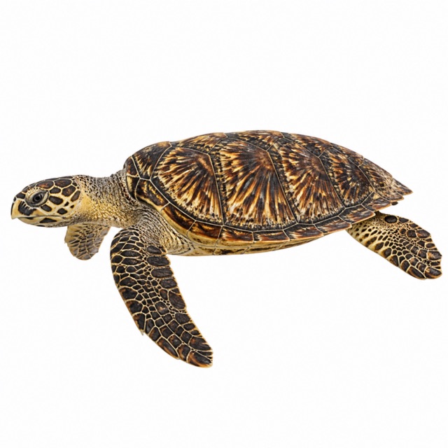 Hawksbill sea turtle
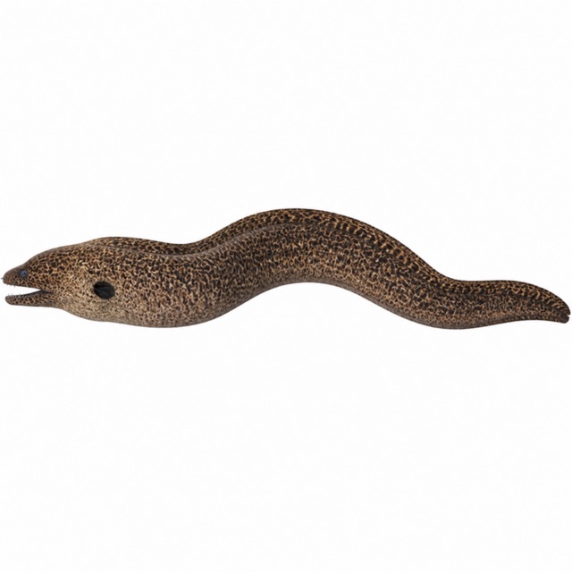 Giant moray
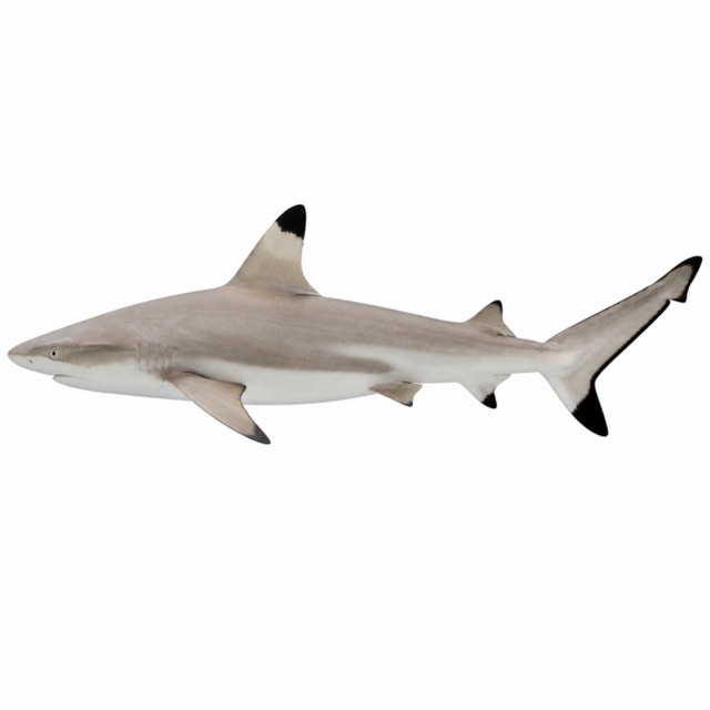 Blacktip reef shark
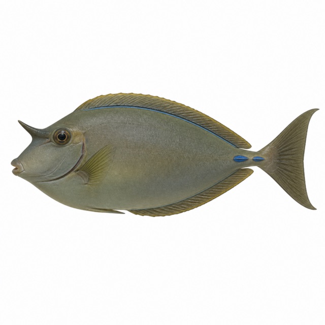 Bluespine unicornfish
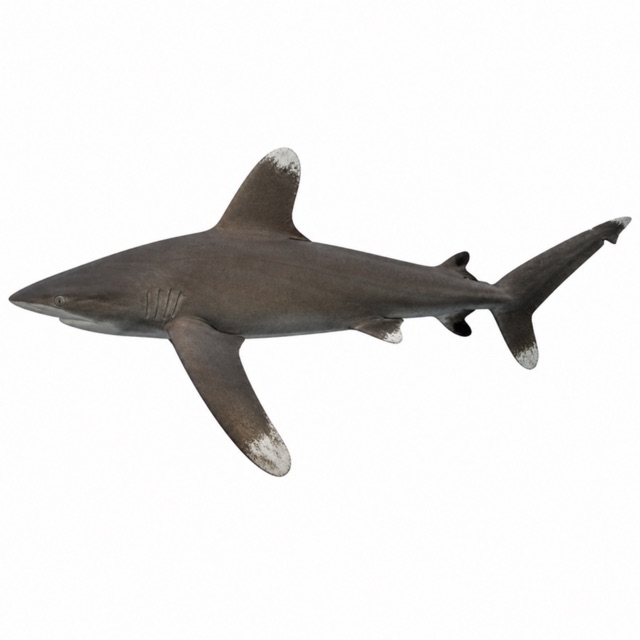 Oceanic whitetip shark
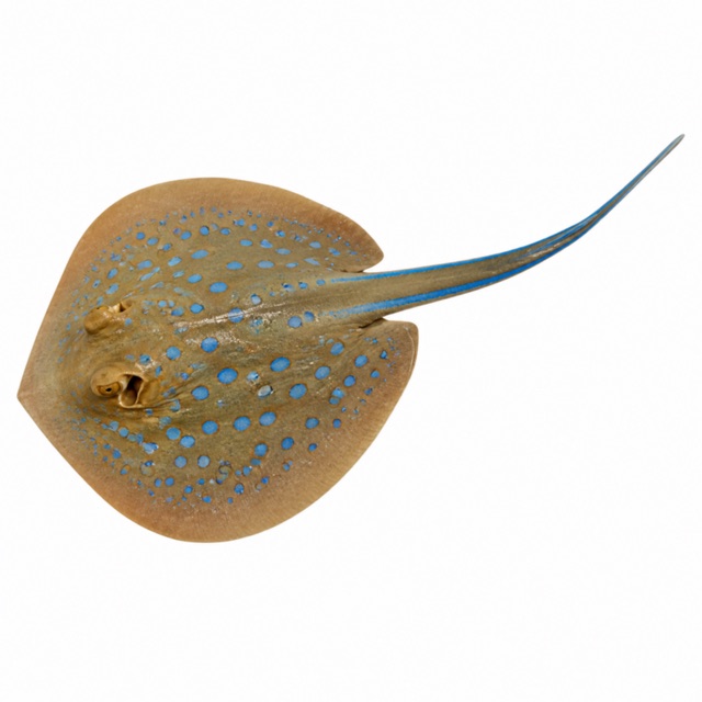 Bluespotted ribbontail ray
 Red Sea clownfish
Also mentioned: trevallies, bannerfish
Hazards
The arch (52-56 m) has caused several deaths: beyond recreational limits. Narcosis, loss of orientation
Logistics
Shore site near Dahab
Notes and conflicting data
Sources disagree on the certification (OW for the 18 m profile, AOW for Bells-Blue Hole). Depth of the arch 52/55/56/65 m depending on the source
Sources
- en.wikipedia.org · percorso Bells, arco, pericoli
- padi.com · visibilità, brevetto, specie, corrente
- divesitedirectory.co.uk · specie, profondità
- lonelyplanet.com · arco, pericoli
- circledivers.com · arco
Coordinates source: OpenStreetMap (node 663869869)
Temperatures: our averages of data from Open-Meteo (CC BY 4.0). Map and many coordinates: © OpenStreetMap contributors (ODbL).
Data checked on Oct 26, 2026.