
The site map
Catalog site · Mediterranean · Shoal or pinnacle, Statues and archaeology
AMP Capo Carbonara (Secca dei Berni)
Villasimius (Sardinia), Italy
Approximate position (within about 2 km) · 39.0964° N, 9.5222° E
OpenFreeMap © OpenMapTiles © OpenStreetMap contributors
Divers who’ve been here can share their route and photos, each at its depth. You can see them with an account. It’s free.
- Deepest route
- 20m
- Water in November
- 20.4°C
- Certification for the easiest route
- Advanced (down to 30 m)
- Type
- shoals, archaeology
- Access
- By boat
Routes
- Isola dei Cavoli and Capo Carbonara10–20 m
Advanced (down to 30 m)
According to the sources: According to certification
Surface water temperature
Best months to dive: May–October
Source: travel.padi.com (the source covers the area, not just this site)
2023–2025 average. Below the thermocline the water can be colder.
Species you can see
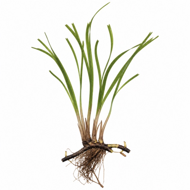 Neptune grass
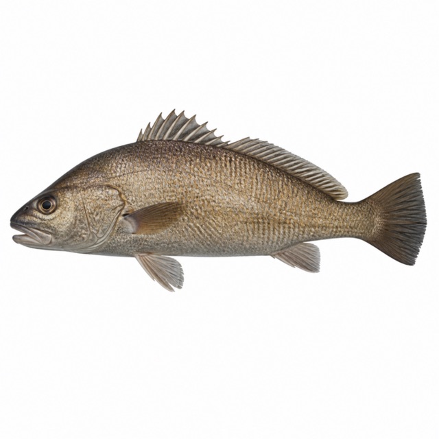 Brown meagre
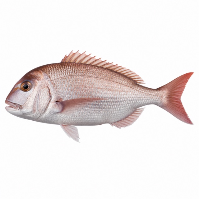 Common dentex
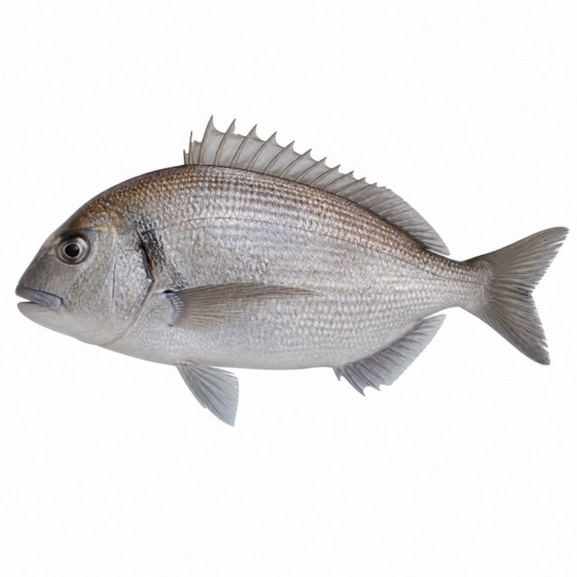 Saddled seabream
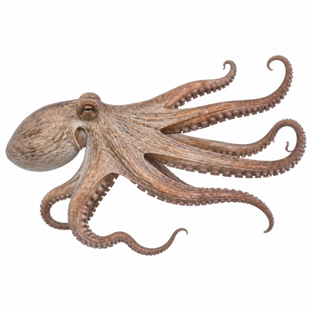 Common octopus
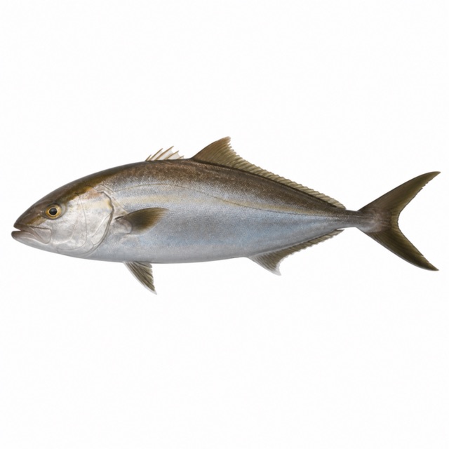 Greater amberjack
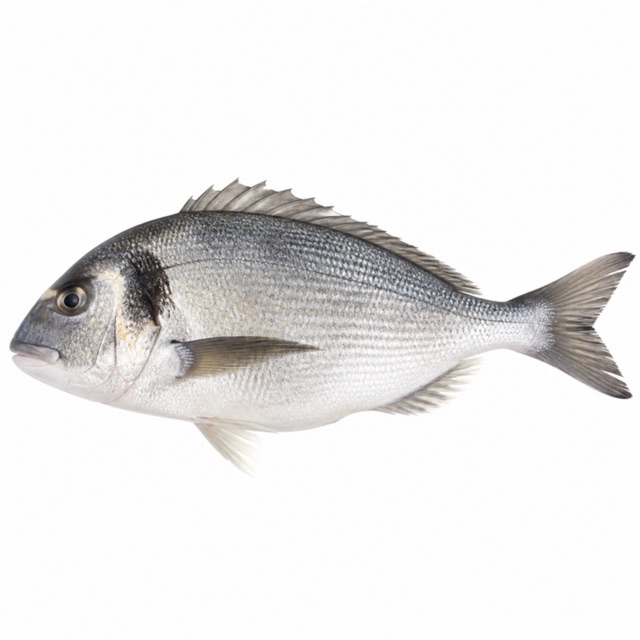 Gilthead seabream
Also mentioned: barracuda, groupers, sea bream, red mullets, golden zoanthids, gorgonians
Rules, permits and fees
Diving all year with authorised centres; official mooring buoys
Notes and conflicting data
Remains of a Roman galley. Other sites: Secca di Mezzo and Secca di Libeccio, Isola dei Cavoli
Sources
- ampcapocarbonara.it · regole, boe
- sea-seek.com · galea romana
- freedome.it · profondità
- sardegnaturismo.it · AMP Capo Carbonara: posidonia, corvine, dentici, occhiate, polpi, ricciole, orate; barracuda, cernie, saraghi, triglie, margherite di mare, gorgonie
Coordinates source: OpenStreetMap: Capo Carbonara (punta)
Temperatures: our averages of data from Open-Meteo (CC BY 4.0). Map and many coordinates: © OpenStreetMap contributors (ODbL).
Data checked on Oct 26, 2026.