
The site map
Catalog site · Mediterranean · Wreck
Relitto Don Pedro
Ibiza harbour (Balearic Islands), Spain
Position: exact site · 38.8733° N, 1.4721° E
OpenFreeMap © OpenMapTiles © OpenStreetMap contributors
Divers who’ve been here can share their route and photos, each at its depth. You can see them with an account. It’s free.
- Deepest route
- 47m
- Water in November
- 20°C
- Certification for the easiest route
- Technical (beyond 40 m)
- Type
- wreck
- Access
- By boat
Routes
- Wreck25–47 m
Technical (beyond 40 m)
According to the sources: Advanced divers
Surface water temperature
Best months to dive: May–October
Source: travel.padi.com (the source covers the area, not just this site)
2023–2025 average. Below the thermocline the water can be colder.
Species you can see
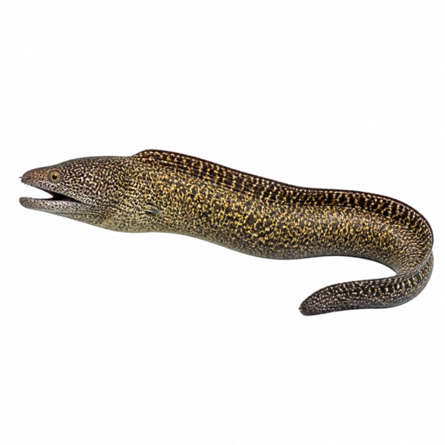
Also mentioned: barracuda, nudibranchs
Rules, permits and fees
Only with authorised centres and a minimum certification
Notes and conflicting data
142 m cargo ship, the largest recreational wreck in the Mediterranean (one source). Depths differ: 25-43, 26-46 or down to 47 m
Sources
- ibiza-spotlight.es · profondità, storia
- journeybeyondhorizon.com · profondità, livello
- samboat.com · profondità
Coordinates source: PADI Travel, scheda 'Don Pedro' (https://travel.padi.com/dive-site/spain/don-pedro/)
Temperatures: our averages of data from Open-Meteo (CC BY 4.0). Map and many coordinates: © OpenStreetMap contributors (ODbL).
Data checked on Oct 26, 2026.