
The site map
Catalog site · Atlantic · Cave or cenote
Riserva di El Cabrón
Arinaga, Gran Canaria (Canary Islands), Spain
Approximate position (within about 2 km) · 27.8709° N, 15.3864° W
OpenFreeMap © OpenMapTiles © OpenStreetMap contributors
Divers who’ve been here can share their route and photos, each at its depth. You can see them with an account. It’s free.
- Deepest route
- 23m
- Water in November
- 22.8°C
- Certification for the easiest route
- Advanced (down to 30 m)
- Type
- marine reserve, caves
- Access
- From shore
- Entry
- From shore, slippery rocks
- Current
- Can be strong (one source)
Routes
- Slope12–23 m
Advanced (down to 30 m)
Surface water temperature
Best months to dive: April–November
Source: travel.padi.com (the source covers the area, not just this site)
2023–2025 average. Below the thermocline the water can be colder.
Species you can see
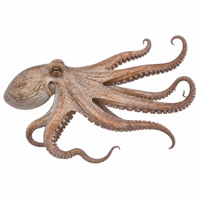
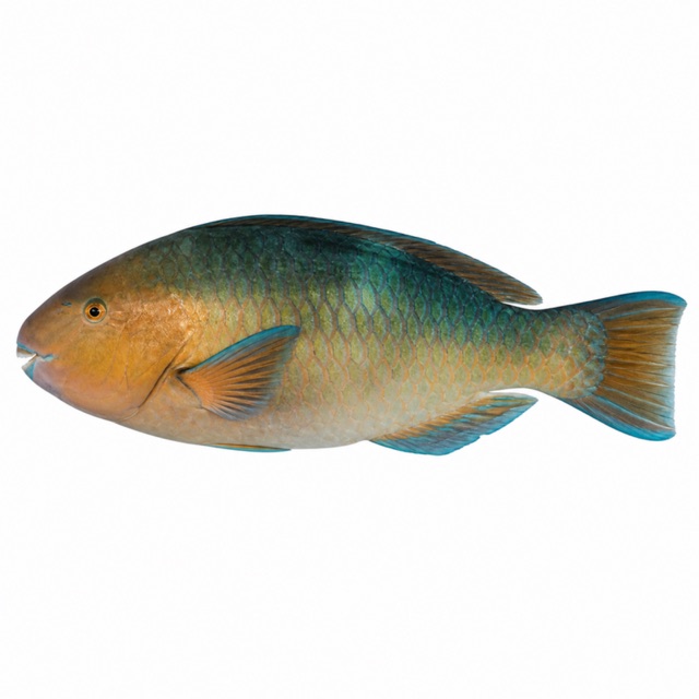
Also mentioned: eagle rays, morays, striped grunts, barracuda, seahorses
Notes and conflicting data
Conflicting: suitable for beginners (Barceló) or for advanced divers (Astrogc). Deep caves at about 20 m
Sources
- barcelo.com · profondità, livello
- astrogc.com · corrente, livello, grotte
- davyjonesdiving.com · siti della riserva
- scubasur.net · El Cabrón: parrot fish; roncadores, barracudas, seahorses
Coordinates source: OpenStreetMap: spiaggia di El Cabrón
Temperatures: our averages of data from Open-Meteo (CC BY 4.0). Map and many coordinates: © OpenStreetMap contributors (ODbL).
Data checked on Oct 26, 2026.