
The site map
Catalog site · Caribbean
Frederiksted Pier
St. Croix, U.S. Virgin Islands
Position: exact site · 17.7139° N, 64.8834° W
OpenFreeMap © OpenMapTiles © OpenStreetMap contributors
Divers who’ve been here can share their route and photos, each at its depth. You can see them with an account. It’s free.
- Deepest route
- 14m
- Water in November
- 29.2°C
- Certification for the easiest route
- Open Water (down to 18 m)
- Type
- pier
- Access
- From shore
Routes
- Under the pier6–14 m
Open Water (down to 18 m)
Down to 27 m at the end of the pier
Surface water temperature
Best time not found in the sources
2023–2025 average. Below the thermocline the water can be colder.
Species you can see
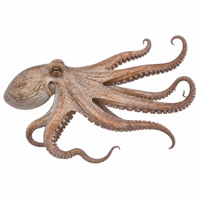
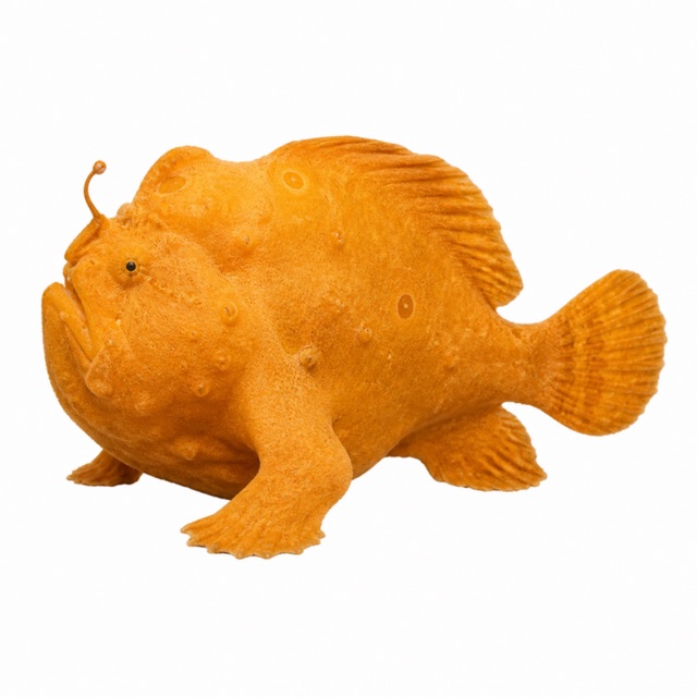
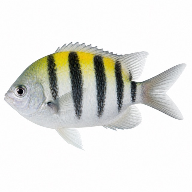
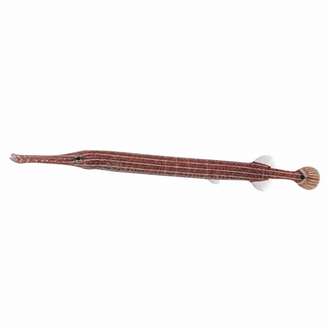
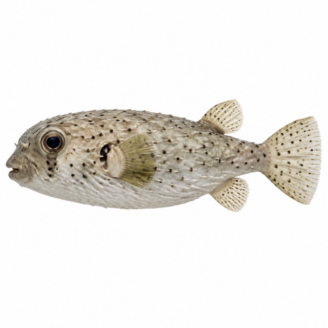
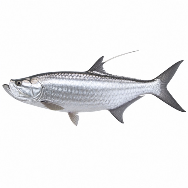
Also mentioned: seahorses
Rules, permits and fees
Not possible when a cruise ship is in port
Notes and conflicting data
Giant stride entry from the pier into 6 m of water
Sources
- gotostcroix.com · profondità, regole
- en.wikipedia.org · luogo
Coordinates source: OpenStreetMap (Frederiksted); PADI Travel scheda 'Frederiksted Pier' 17.71420,-64.88482
Temperatures: our averages of data from Open-Meteo (CC BY 4.0). Map and many coordinates: © OpenStreetMap contributors (ODbL).
Data checked on Oct 26, 2026.