
The site map
Catalog site · Mediterranean · Wall, Cave or cenote
Inland Sea
Dwejra, Gozo, Malta
Position: exact site · 36.0537° N, 14.1912° E
OpenFreeMap © OpenMapTiles © OpenStreetMap contributors
Divers who’ve been here can share their route and photos, each at its depth. You can see them with an account. It’s free.
- Deepest route
- 50m
- Water in November
- 22.2°C
- Certification for the easiest route
- Advanced (down to 30 m)
- Type
- lagoon, tunnel, wall
- Access
- From shore
- Entry
- From shore in the lagoon (2 m), then an 80 m tunnel towards the open sea
Routes
- Tunnel2–26 m
Advanced (down to 30 m)
The tunnel opens to the sea at 26 m
- Walls outside the tunnel50 m
Technical (beyond 40 m)
Seabed down to about 50 m; one source: average 18 m
Surface water temperature
Best months to dive: May–October
Source: divessi.com (the source covers the area, not just this site)
2023–2025 average. Below the thermocline the water can be colder.
Species you can see

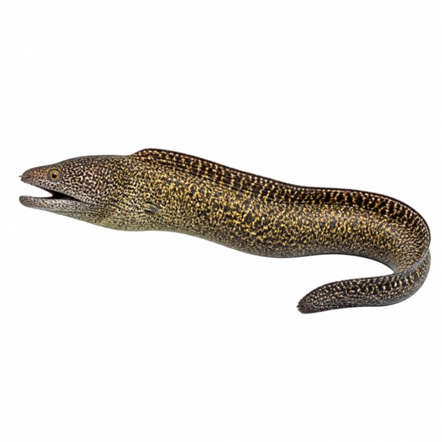


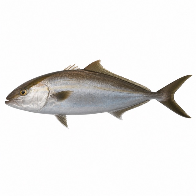
Also mentioned: groupers, barracuda, eagle rays
Sources
- en.wikipedia.org · luogo
- maltadives.com · profondità, coordinate
- oysterdiving.com · profondità
Coordinates source: OpenStreetMap (laguna dell'Inland Sea)
Temperatures: our averages of data from Open-Meteo (CC BY 4.0). Map and many coordinates: © OpenStreetMap contributors (ODbL).
Data checked on Oct 26, 2026.