
The site map
Catalog site · Red Sea · Wall, Drift
Jackson Reef
Strait of Tiran, Egypt
Position: exact site · 28.0060° N, 34.4726° E
OpenFreeMap © OpenMapTiles © OpenStreetMap contributors
Divers who’ve been here can share their route and photos, each at its depth. You can see them with an account. It’s free.
- Deepest route
- 120m
- Water in November
- 27°C
- Certification for the easiest route
- Advanced (down to 30 m)
- Type
- wall, drift
- Access
- By boat
- Current
- Strong along the wall (fast drift); sheltered corners
Routes
- Wall7–26 m
Advanced (down to 30 m)
- North plateau (hammerheads, in the blue)25–40 m
Deep Specialty (down to 40 m)
- Lara wreck45–120 m
Technical (beyond 40 m)
According to the sources: Technical
Best time
Hammerheads on the north side: Jul-Sep (one source), May-Sep (another)
Surface water temperature
Best months to dive: June–October
Source: liveaboard.com
2023–2025 average. Below the thermocline the water can be colder.
Species you can see
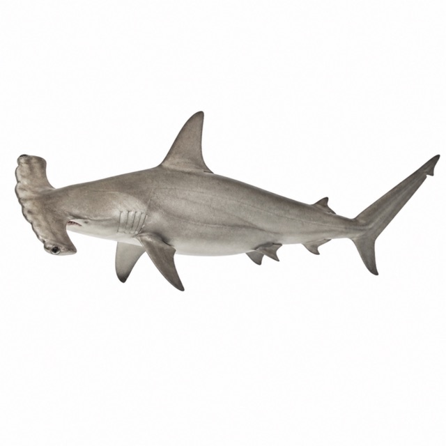 Scalloped hammerhead
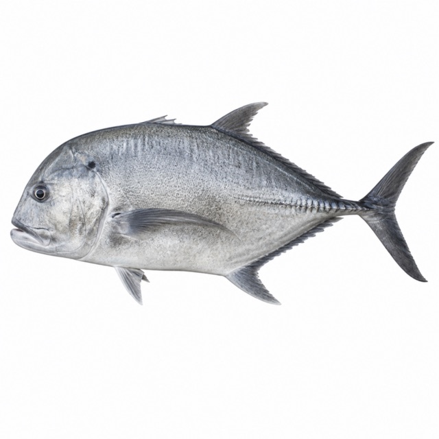 Giant trevally
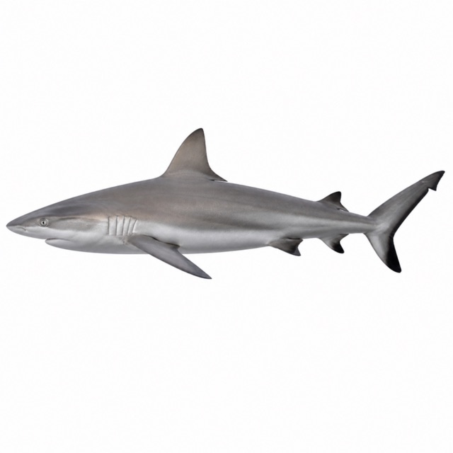 Grey reef shark
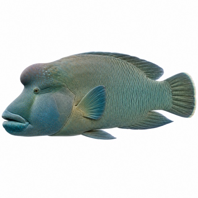 Humphead wrasse
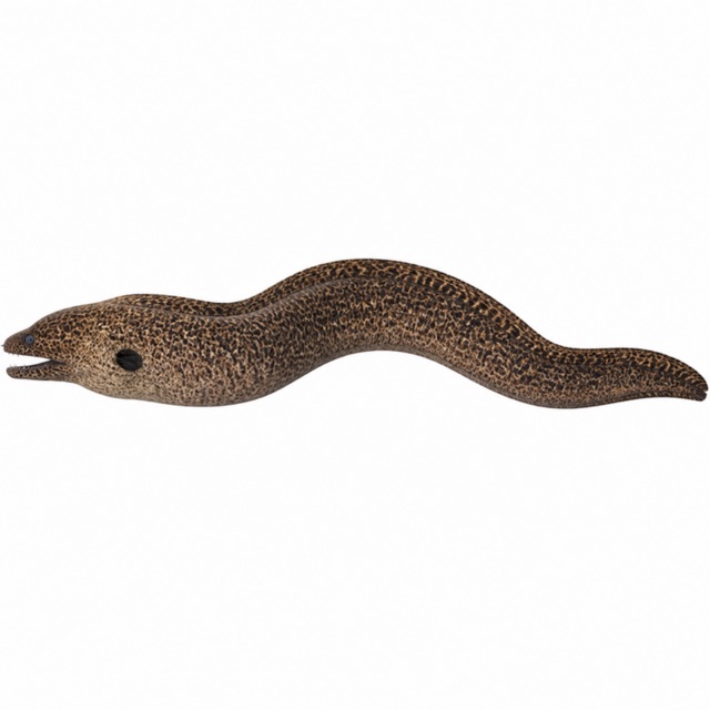 Giant moray
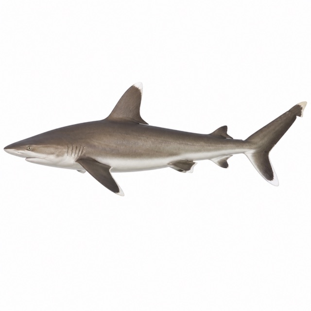 Silvertip shark
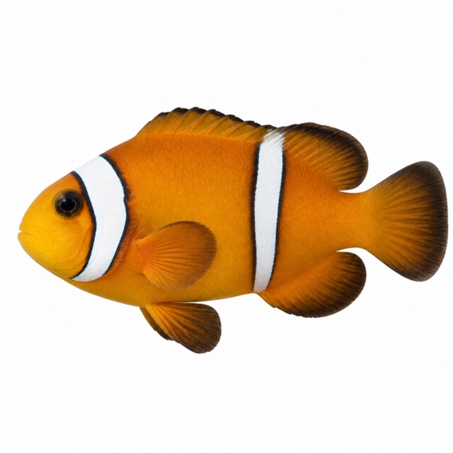 Red Sea clownfish
Also mentioned: tuna, barracuda
Hazards
Strong currents
Notes and conflicting data
Advanced dive, but the sheltered corners are accessible to OW divers with good buoyancy
Sources
- dive-the-world.com · stagione, corrente
- cameldive.com · profondità
- duikersgids.nl · profondità, Lara
- diveplannerpro.com · silvertips; tuna, barracuda
- diveplannerpro.com · silvertip sharks, clownfish
Coordinates source: OpenStreetMap node/8559506184 (Jackson reef); Wikidata Q14212223
Temperatures: our averages of data from Open-Meteo (CC BY 4.0). Map and many coordinates: © OpenStreetMap contributors (ODbL).
Data checked on Oct 26, 2026.