
The site map
Catalog site · Mediterranean · Wreck
Relitto Le Liban
Maïre Island, Marseille (Calanques National Park), France
Position: exact site · 43.2073° N, 5.3371° E
OpenFreeMap © OpenMapTiles © OpenStreetMap contributors
Divers who’ve been here can share their route and photos, each at its depth. You can see them with an account. It’s free.
- Deepest route
- 36m
- Water in November
- 17.5°C
- Certification for the easiest route
- Deep Specialty (down to 40 m)
- Type
- wreck
- Access
- By boat
Routes
- Wreck36 m
Deep Specialty (down to 40 m)
A single source; 'accessible to all levels' according to the same source
Surface water temperature
Best time not found in the sources
2023–2025 average. Below the thermocline the water can be colder.
Species you can see
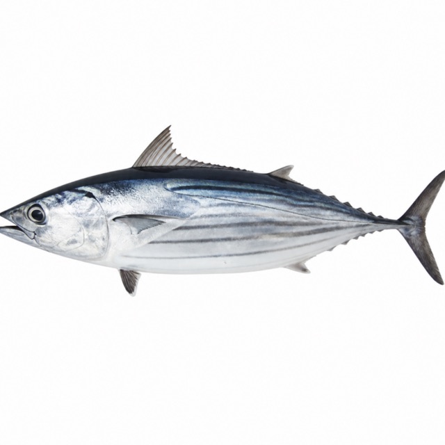
Also mentioned: gorgonians of many colours, tuna
Logistics
Boat from Les Goudes, Cap Croisette or Vieux-Port
Notes and conflicting data
Sank in 1903 after a collision
Sources
- vvanat.fr · profondità, storia, accesso
- calanques-parcnational.fr · parco
- vvanat.fr · bonites; gorgones de toutes les couleurs, thons
Coordinates source: OpenStreetMap node/663869688 (Le Liban, sport=scuba_diving)
Temperatures: our averages of data from Open-Meteo (CC BY 4.0). Map and many coordinates: © OpenStreetMap contributors (ODbL).
Data checked on Oct 26, 2026.