
The site map
Catalog site · Indo-Pacific · Muck (sandy bottom)
Stretto di Lembeh
Bitung, North Sulawesi, Indonesia
Approximate position (island, town or area) · 1.4327° N, 125.2084° E
OpenFreeMap © OpenMapTiles © OpenStreetMap contributors
Divers who’ve been here can share their route and photos, each at its depth. You can see them with an account. It’s free.
- Deepest route
- 30m
- Water in November
- 30.2°C
- Certification for the easiest route
- Advanced (down to 30 m)
- Type
- muck (sandy bottoms)
- Access
- By boat
- Current
- Almost none
Routes
- Muck sites5–30 m
Advanced (down to 30 m)
- Nudi Falls3–28 m
Advanced (down to 30 m)
Surface water temperature
Best months to dive: March–October
Source: liveaboard.com
2023–2025 average. Below the thermocline the water can be colder.
Species you can see
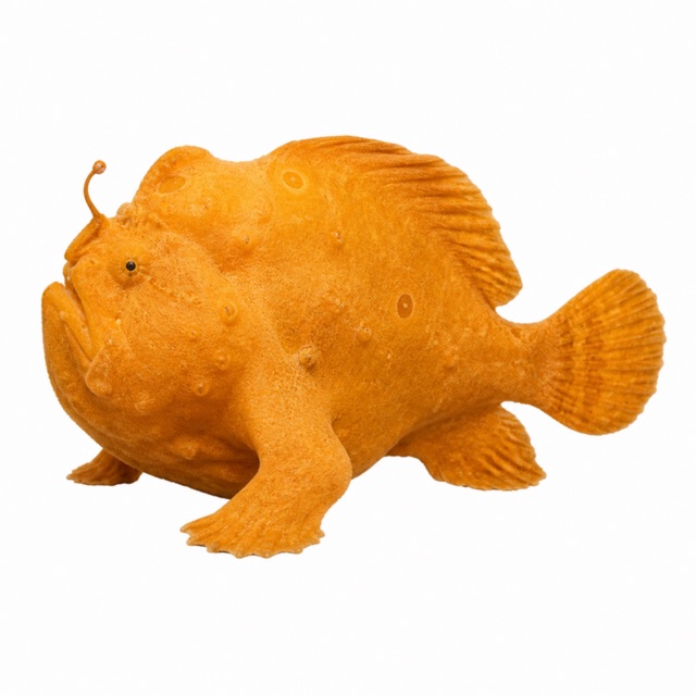 Giant frogfish
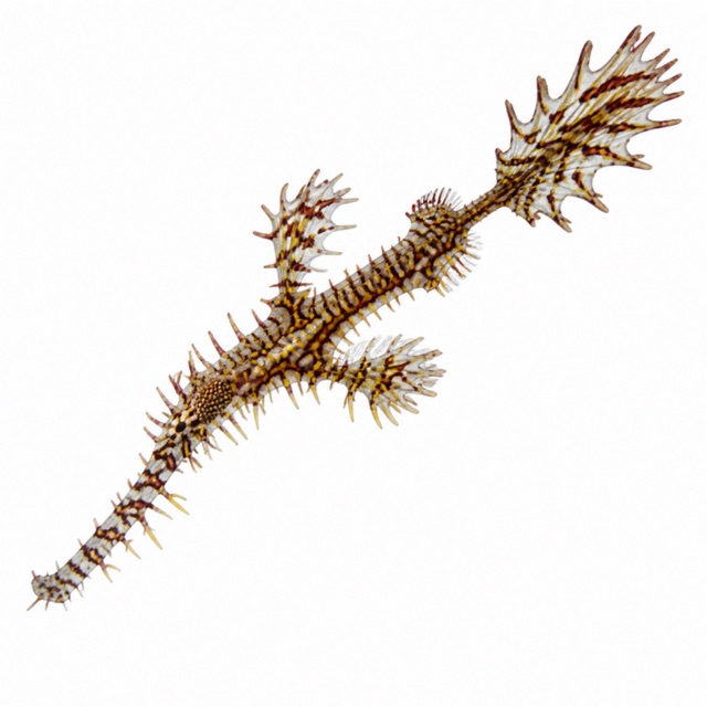 Ornate ghost pipefish
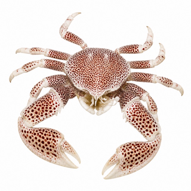 Spotted porcelain crab
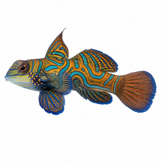 Mandarinfish
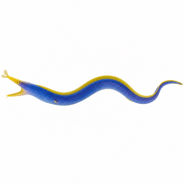 Ribbon eel
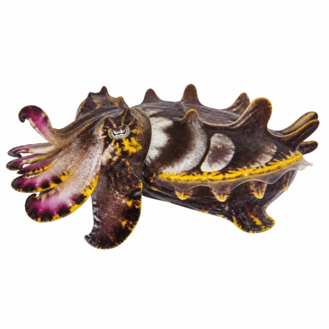 Flamboyant cuttlefish
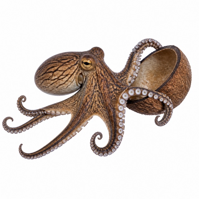 Coconut octopus
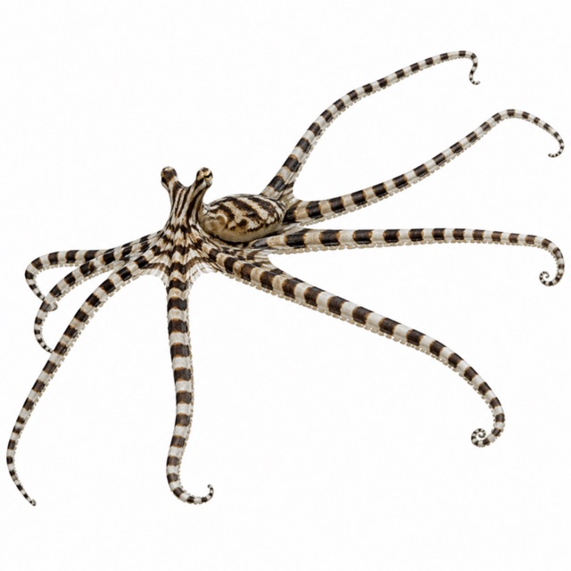 Mimic octopus
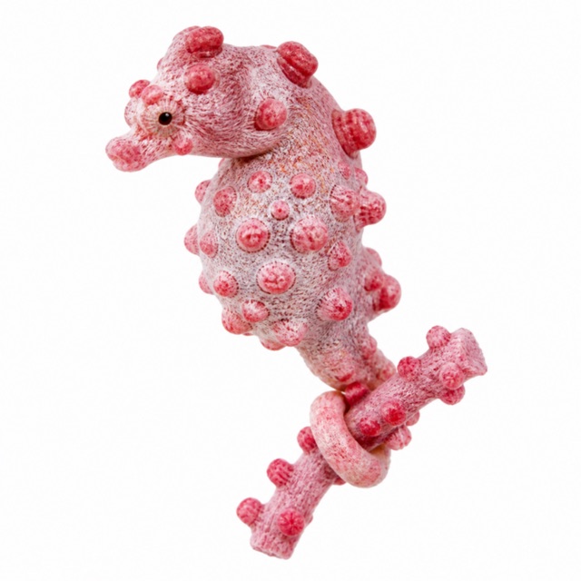 Pygmy seahorse
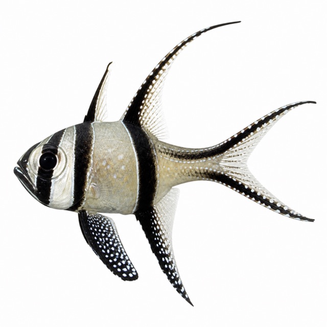 Banggai cardinalfish
Also mentioned: nudibranchs, blue-ringed octopus, frogfish, scorpionfish
Notes and conflicting data
Water 24-30 °C all year (regional source)
Sources
- wetpixel.echeng.com · profondità
- lembehresort.com · profondità
Coordinates source: OpenStreetMap (terminal dei traghetti di Bitung); Wikidata Q2950304 (stretto)
Temperatures: our averages of data from Open-Meteo (CC BY 4.0). Map and many coordinates: © OpenStreetMap contributors (ODbL).
Data checked on Oct 26, 2026.