
The site map
Catalog site · Mediterranean · Shoal or pinnacle
Secca del Meliso
Santa Maria di Leuca (Salento), Italy
Approximate position (within about 2 km) · 39.7931° N, 18.3671° E
OpenFreeMap © OpenMapTiles © OpenStreetMap contributors
Divers who’ve been here can share their route and photos, each at its depth. You can see them with an account. It’s free.
- Deepest route
- 20m
- Water in November
- 19°C
- Certification for the easiest route
- Advanced (down to 30 m)
- Type
- shoal
- Access
- By boat
Routes
- Shoal20 m
Advanced (down to 30 m)
According to the sources: Experienced divers
Anchor at about 20 m
Surface water temperature
Best time not found in the sources
2023–2025 average. Below the thermocline the water can be colder.
Species you can see
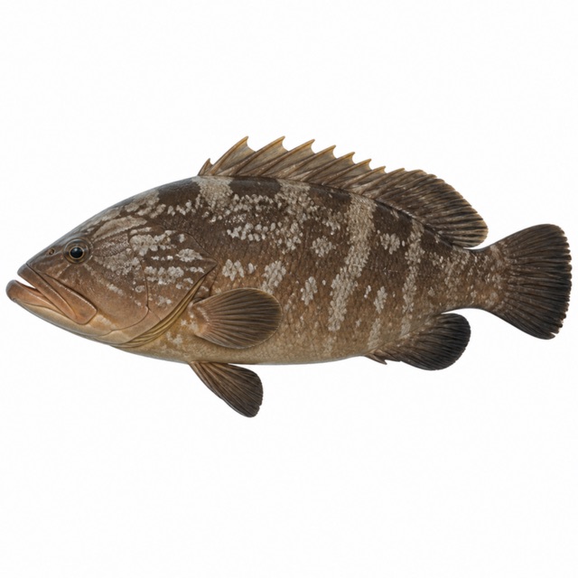 Dusky grouper
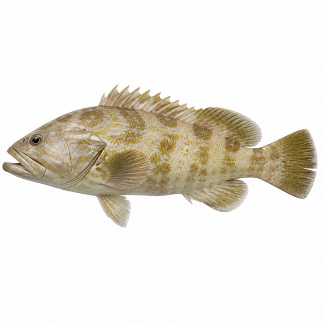 Goldblotch grouper
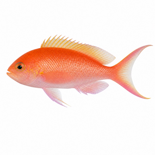 Swallowtail seaperch
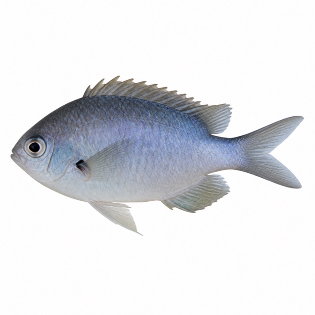 Mediterranean damselfish
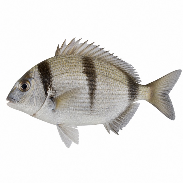 Two-banded seabream
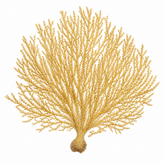 Yellow gorgonian
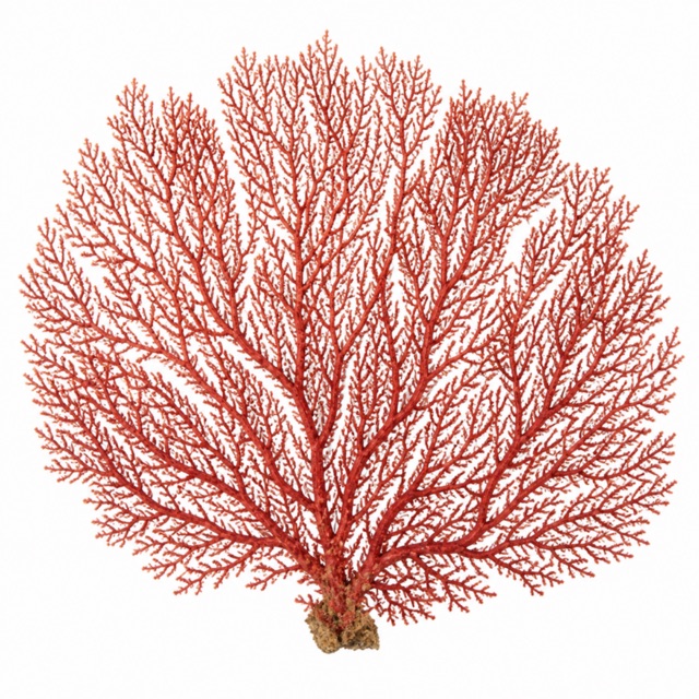 Red gorgonian
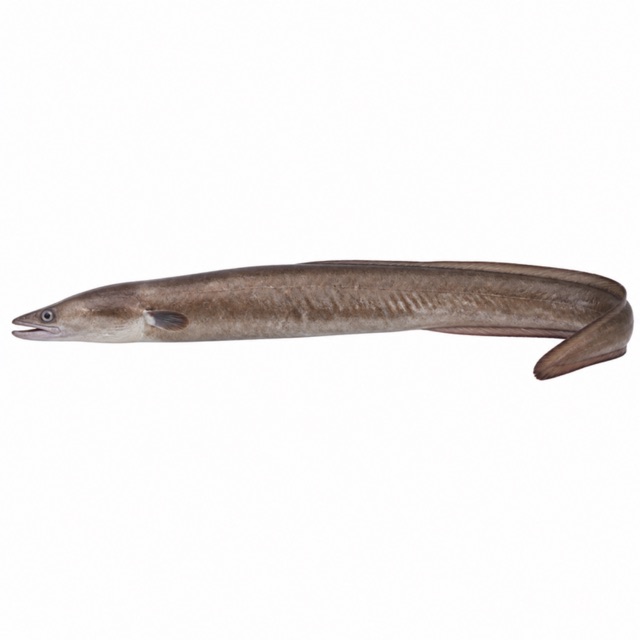 European conger
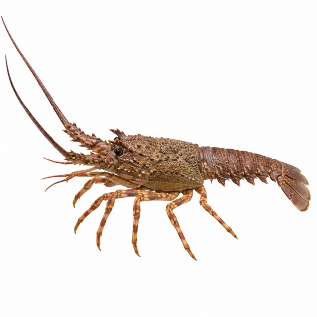 European spiny lobster
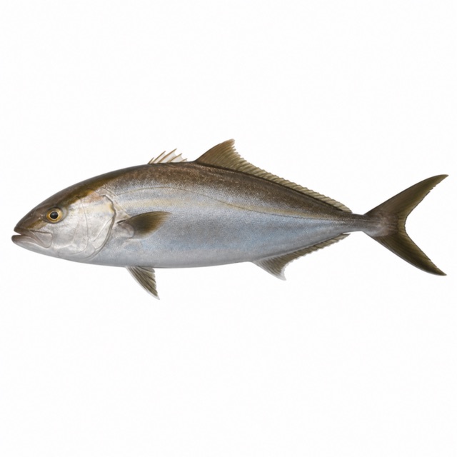 Greater amberjack
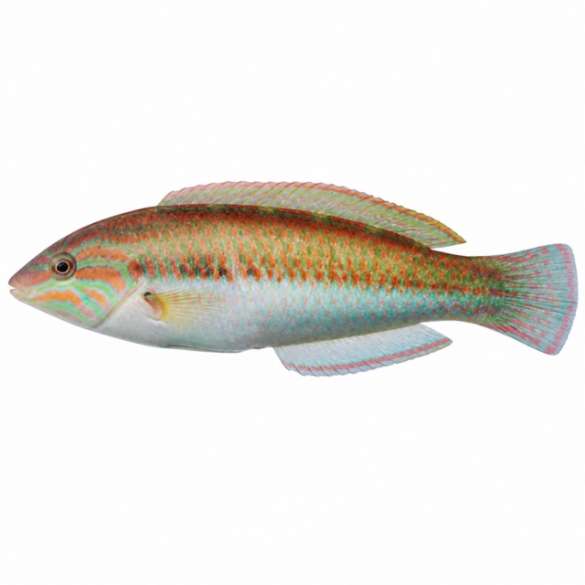 Mediterranean rainbow wrasse
Also mentioned: barracuda, nudibranchs, tuna
Notes and conflicting data
Where the Adriatic meets the Ionian; off the harbour a wreck sitting upright
Sources
- submagazine.it · profondità, livello
Coordinates source: OpenStreetMap: Punta Meliso (capo)
Temperatures: our averages of data from Open-Meteo (CC BY 4.0). Map and many coordinates: © OpenStreetMap contributors (ODbL).
Data checked on Oct 26, 2026.