
The site map
Catalog site · Caribbean · Wall, Reef, Drift
Palancar Reef
Cozumel, Parque Nacional Arrecifes de Cozumel, Mexico
Approximate position (within about 2 km) · 20.3439° N, 87.0261° W
OpenFreeMap © OpenMapTiles © OpenStreetMap contributors
Divers who’ve been here can share their route and photos, each at its depth. You can see them with an account. It’s free.
- Deepest route
- 30m
- Water in November
- 29°C
- Visibility
- 34–37m
- Certification for the easiest route
- Advanced (down to 30 m)
- Type
- reef, wall, drift
- Access
- By boat
- Entry
- By boat, drift
- Current
- Drift; sometimes stronger in summer
Routes
- Horseshoe12–27 m
Advanced (down to 30 m)
Descent from 12 m to about 25 m
- Palancar Caves30 m
Advanced (down to 30 m)
According to the sources: No cave certification needed
Multilevel: you start at the recreational limit and work your way up
Best time
Hurricane season June-November
Surface water temperature
Best months to dive: January–December
Source: padi.com (the source covers the area, not just this site)
2023–2025 average. Below the thermocline the water can be colder.
Species you can see
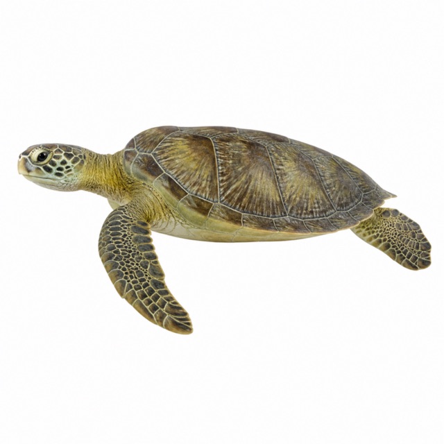 Green sea turtle
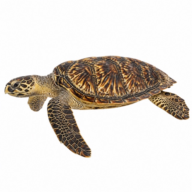 Hawksbill sea turtle
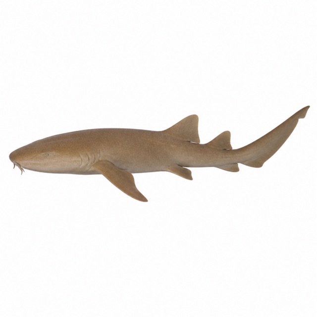 Nurse shark
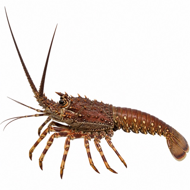 Caribbean spiny lobster
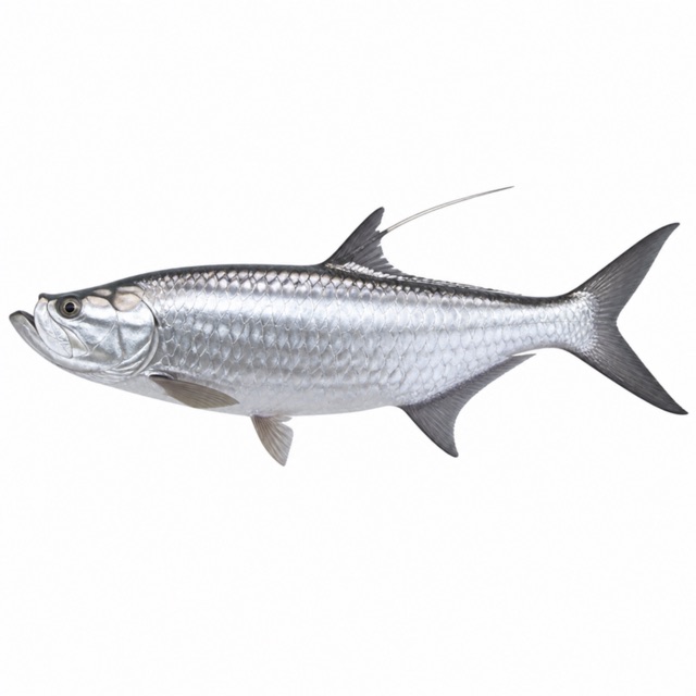 Atlantic tarpon
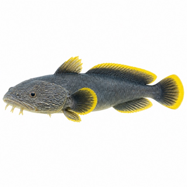 Splendid toadfish
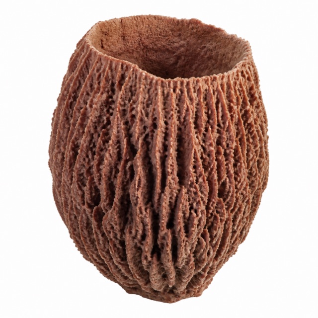 Giant barrel sponge
Also mentioned: grunts, snappers, angelfish, parrotfish, brain corals, eagle rays
Hazards
Palancar Caves: swim-throughs with clear exits, no cave certification needed
Rules, permits and fees
National park: mooring buoys, limited group sizes, rules on contact with wildlife. Fee not found
Logistics
Boat from Cozumel
Notes and conflicting data
Visibility 111-120 ft from the Divebuddy database (Horseshoe)
Sources
- divebuddy.com · Horseshoe
- thetraveler.org · Caves
- thetraveler.org · parco, regole
Coordinates source: Wikipedia (Palancar Reef)
Temperatures: our averages of data from Open-Meteo (CC BY 4.0). Map and many coordinates: © OpenStreetMap contributors (ODbL).
Data checked on Oct 26, 2026.