
The site map
Catalog site · Atlantic · Wall, Cave or cenote
Playa Chica e The Cathedral
Puerto del Carmen, Lanzarote (Canary Islands), Spain
Approximate position (within about 2 km) · 28.9191° N, 13.6683° W
OpenFreeMap © OpenMapTiles © OpenStreetMap contributors
Divers who’ve been here can share their route and photos, each at its depth. You can see them with an account. It’s free.
- Deepest route
- 50m
- Water in November
- 22.1°C
- Visibility
- 16–20m
- Certification for the easiest route
- Advanced (down to 30 m)
- Type
- wall, cave
- Access
- From shore
- Entry
- From the beach, then along the drop-off
Routes
- The Cathedral (cave)18–30 m
Advanced (down to 30 m)
According to the sources: According to certification
with penetration: needs a specific certification
- Cueva de las Gambas40 m
Deep Specialty (down to 40 m)
- Black coral50 m
Technical (beyond 40 m)
According to the sources: Special certifications
Surface water temperature
Best months to dive: January–December
Source: travel.padi.com (the source covers the area, not just this site)
2023–2025 average. Below the thermocline the water can be colder.
Species you can see
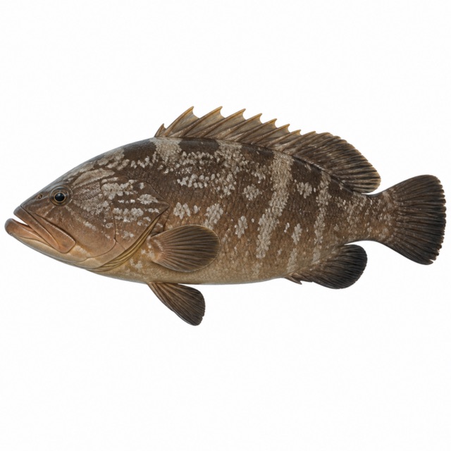 Dusky grouper
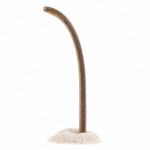 Brown garden eel
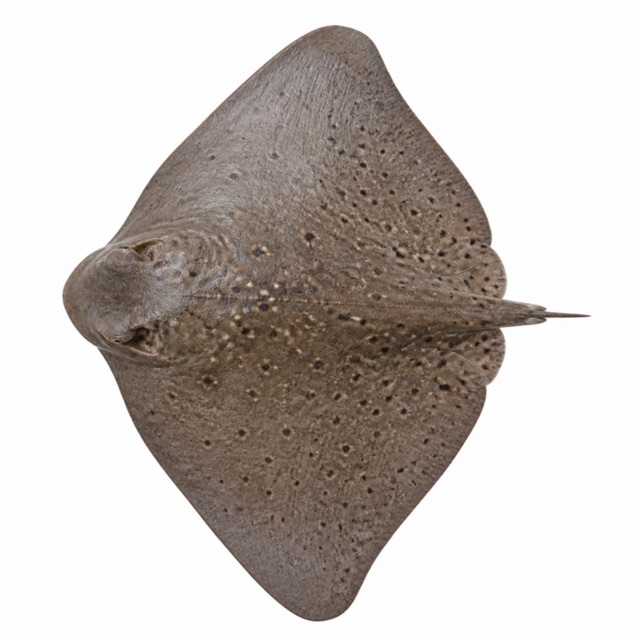 Spiny butterfly ray
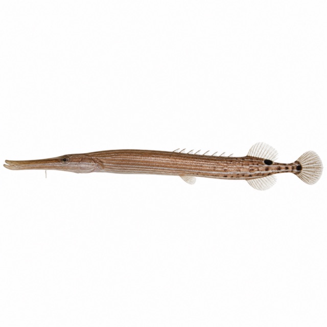 Atlantic trumpetfish
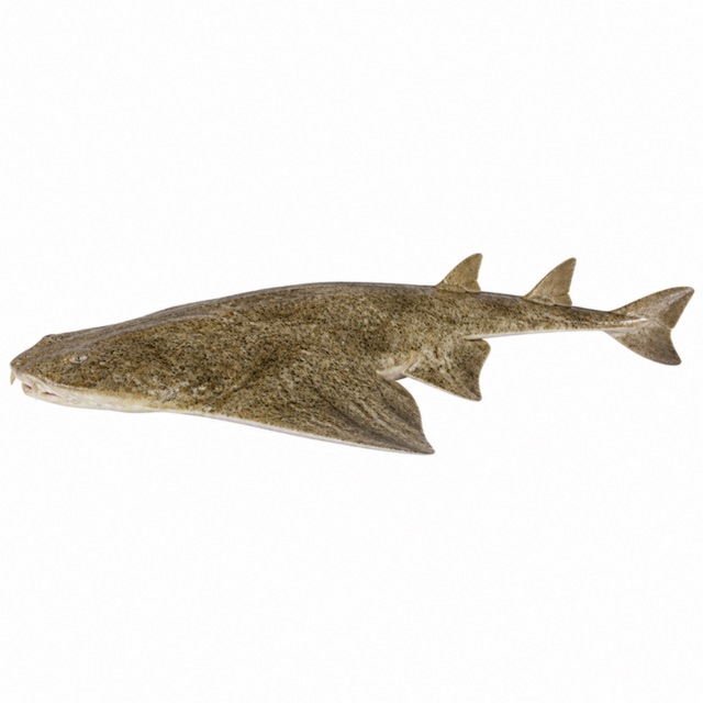 Angelshark
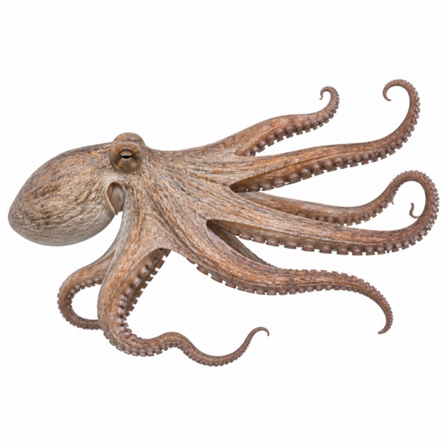 Common octopus
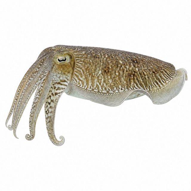 Common cuttlefish
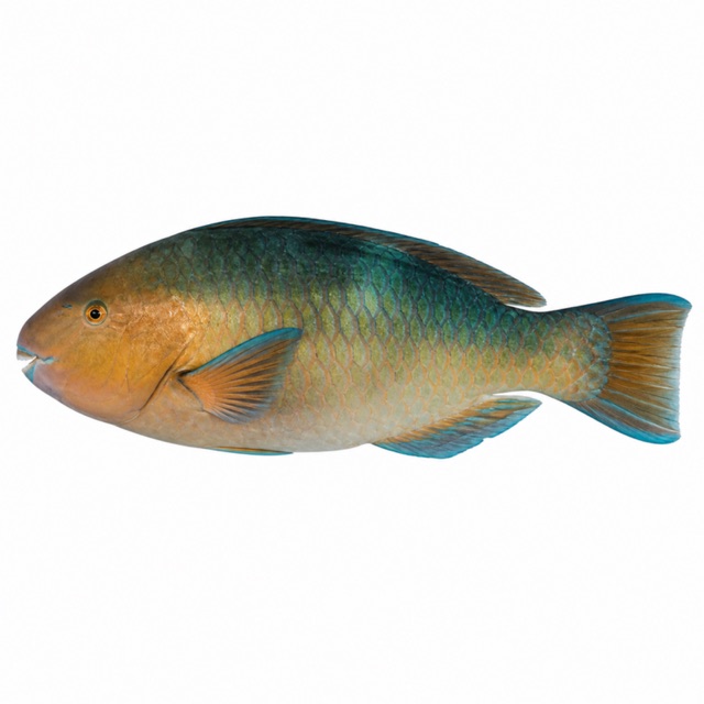 Mediterranean parrotfish
Also mentioned: rays, tuna, nudibranchs, morays
Notes and conflicting data
Over 10 sites from the same beach (Harbour Wall, Blue Hole, Little Wreck...). Torch for the cave
Sources
- manta-diving-lanzarote.com · profondità, brevetto
- duikersgids.nl · visibilità, ingresso
- lavozdelanzarote.com · siti profondi
Coordinates source: OpenStreetMap: Playa Chica (Puerto del Carmen)
Temperatures: our averages of data from Open-Meteo (CC BY 4.0). Map and many coordinates: © OpenStreetMap contributors (ODbL).
Data checked on Oct 26, 2026.