
The site map
Catalog site · Mediterranean · Cave or cenote
Grotta di Pont d'en Gil
Ciutadella, Menorca (Balearic Islands), Spain
Position: exact site · 40.0110° N, 3.7941° E
OpenFreeMap © OpenMapTiles © OpenStreetMap contributors
Divers who’ve been here can share their route and photos, each at its depth. You can see them with an account. It’s free.
- Deepest route
- 12m
- Water in November
- 19.9°C
- Certification for the easiest route
- Open Water (down to 18 m)
- Type
- cave
- Access
- By boat
Routes
- Cave12 m
Open Water (down to 18 m)
Depth from an unclear PADI fact sheet
with penetration: needs a specific certification
Surface water temperature
Best months to dive: May–October
Source: travel.padi.com (the source covers the area, not just this site)
2023–2025 average. Below the thermocline the water can be colder.
Species you can see
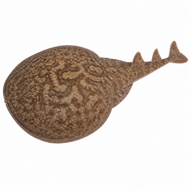 Marbled electric ray
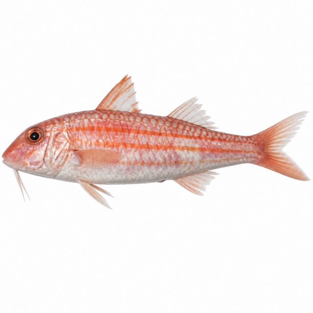 Striped red mullet
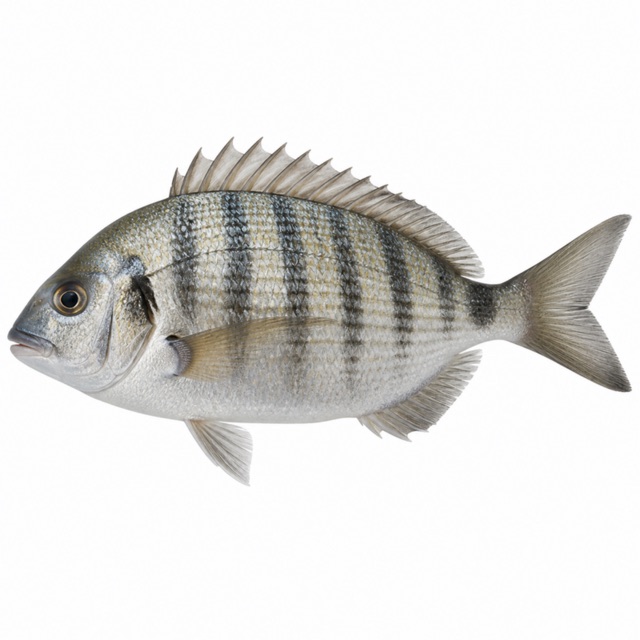 White seabream
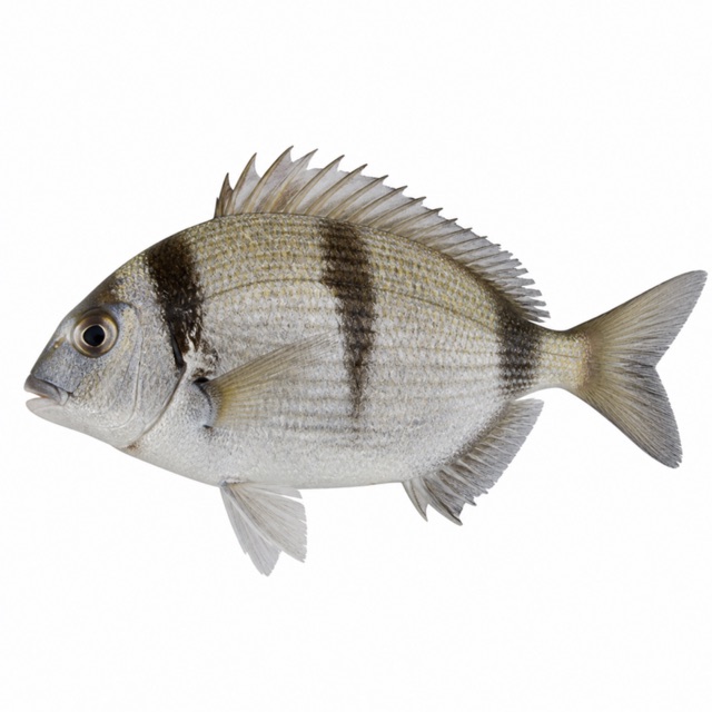 Two-banded seabream
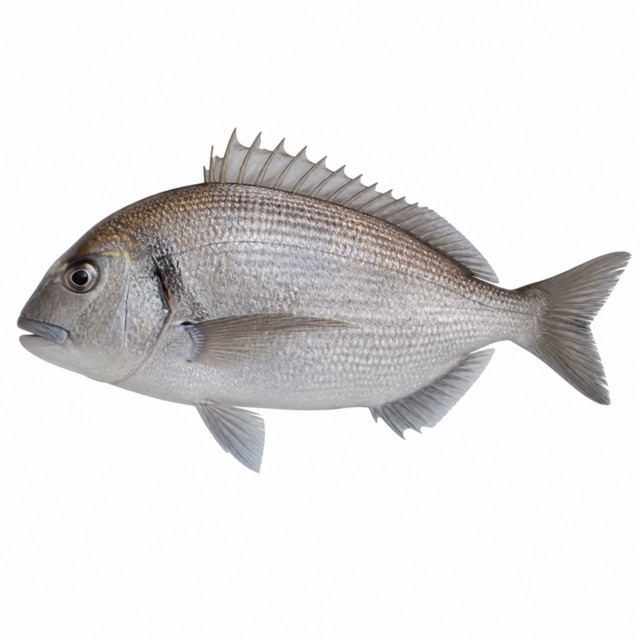 Saddled seabream
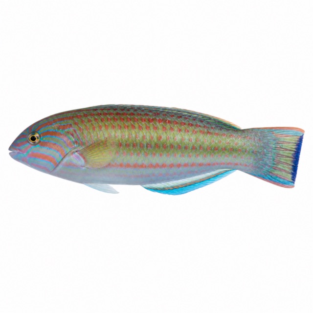 Ornate wrasse
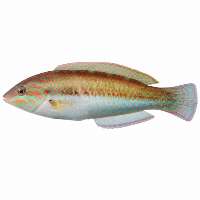 Mediterranean rainbow wrasse
Also mentioned: black sea urchins, starfish
Notes and conflicting data
220 m gallery with stalactites; different entrances depending on level, second gallery beyond a sump
Sources
- calamenorca.com · lunghezza, gallerie
- padi.com · profondità
- divessi.com · marbled electric ray, striped red mullet, white seabream, two-banded seabream, saddled seabream, ornate wrasse, rainbow wrasse; black sea urchins, starfish
Coordinates source: OpenStreetMap (Pont d'en Gil, tourism=attraction)
Temperatures: our averages of data from Open-Meteo (CC BY 4.0). Map and many coordinates: © OpenStreetMap contributors (ODbL).
Data checked on Oct 26, 2026.