
The site map
Catalog site · Indo-Pacific · Cave or cenote, Shoal or pinnacle
Sail Rock
Between Koh Tao and Koh Phangan, Thailand
Position: exact site · 9.9449° N, 99.9904° E
OpenFreeMap © OpenMapTiles © OpenStreetMap contributors
Divers who’ve been here can share their route and photos, each at its depth. You can see them with an account. It’s free.
- Deepest route
- 40m
- Water in November
- 29.4°C
- Certification for the easiest route
- Deep Specialty (down to 40 m)
- Type
- pinnacle, chimney
- Access
- By boat
Routes
- Pinnacle and chimney5–40 m
Deep Specialty (down to 40 m)
with penetration: needs a specific certification
Surface water temperature
Best months to dive: March–September
Source: divessi.com (the source covers the area, not just this site)
2023–2025 average. Below the thermocline the water can be colder.
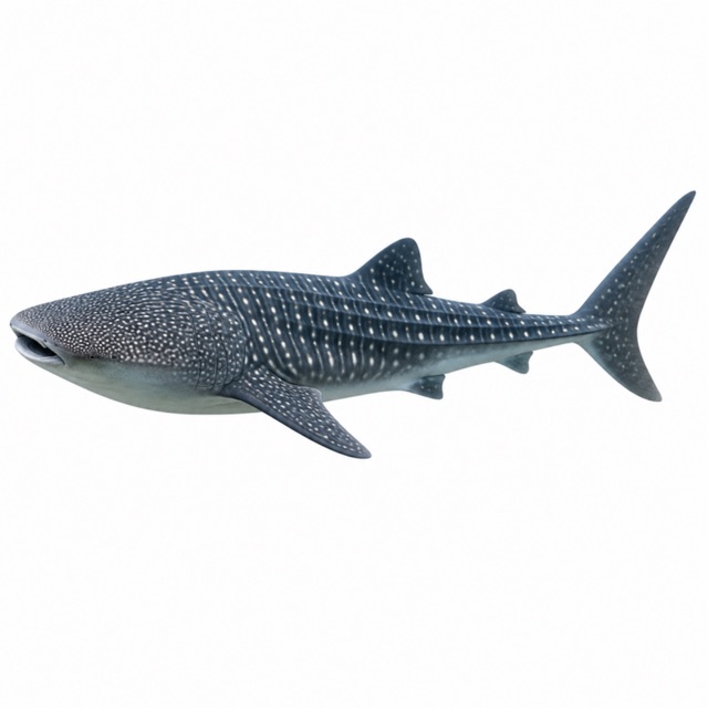
Species you can see
Notes and conflicting data
Vertical chimney from 5 to 18 m
Sources
- blackturtledive.com · profondità, camino
Coordinates source: OpenStreetMap node/865094388 (หินใบ Sail Rock, sport=scuba_diving)
Temperatures: our averages of data from Open-Meteo (CC BY 4.0). Map and many coordinates: © OpenStreetMap contributors (ODbL).
Data checked on Oct 26, 2026.