
The site map
Catalog site · Atlantic · Wall
Saltstraumen
Bodø, Norway
Position: exact site · 67.2321° N, 14.6100° E
OpenFreeMap © OpenMapTiles © OpenStreetMap contributors
Divers who’ve been here can share their route and photos, each at its depth. You can see them with an account. It’s free.
- Water in November
- 6.2°C
- Certification for the easiest route
- Certification to be checked (depth not found)
- Type
- tidal current, walls
- Access
- From shore
- Current
- Extremely strong: the strongest tidal current in the world, whirlpools up to 40 km/h
Routes
- Walls
Certification to be checked (depth not found)
According to the sources: Drysuit, Advanced
Depth not found
Surface water temperature
Best time not found in the sources
2023–2025 average. Below the thermocline the water can be colder.
Species you can see
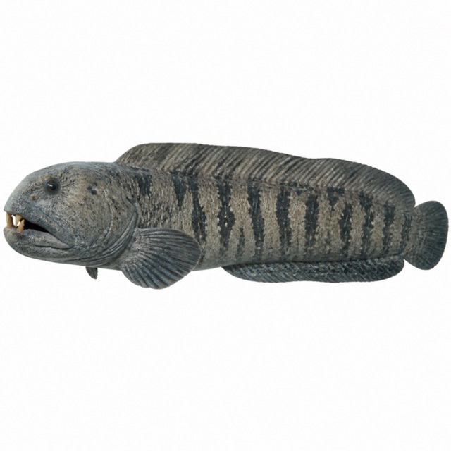
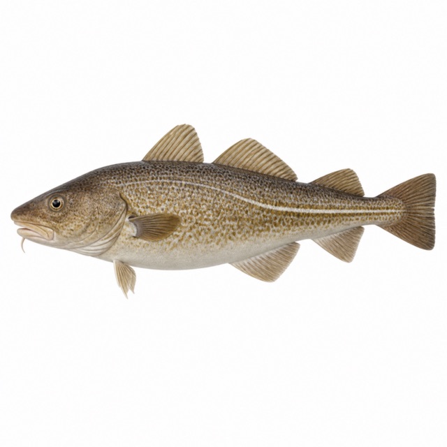
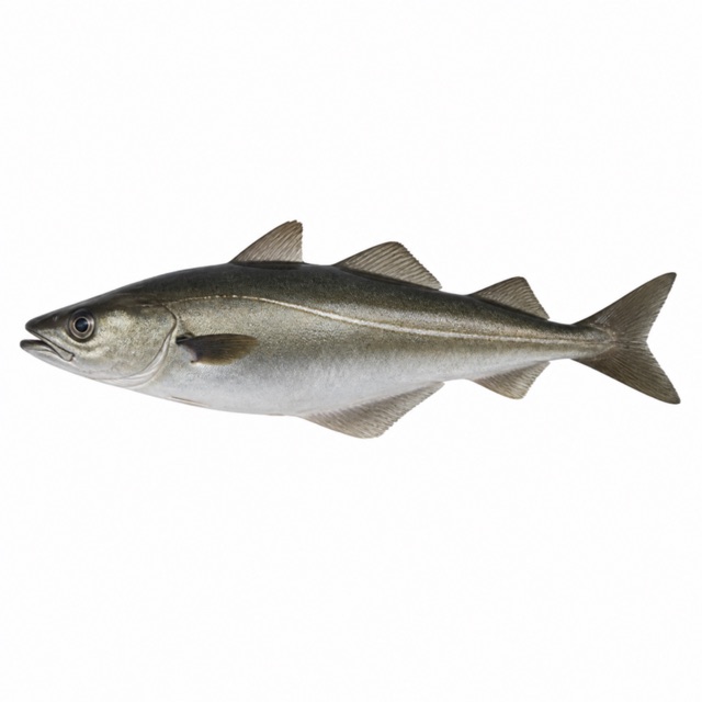
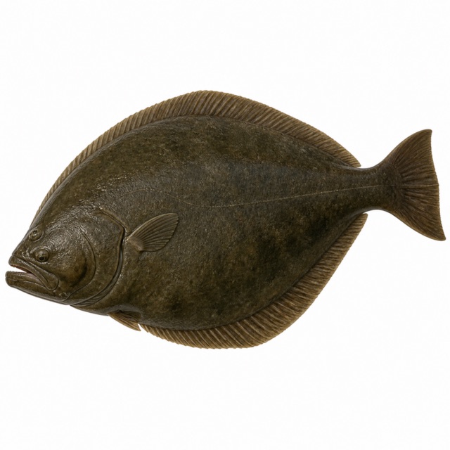
Also mentioned: nudibranchs, anemones
Hazards
Dives are planned around the moon phase and the day's tide
Rules, permits and fees
Marine Protected Area; drysuit certification, AOW preferred (operator)
Sources
- visitnorway.com · corrente, brevetto, specie
- xray-mag.com · corrente
- klikk.no · torsk, sei, kveite, steinbit (Saltstraumen come luogo di immersione)
- en.wikipedia.org · saithe, cod, wolffish, halibut
Coordinates source: OpenStreetMap (Saltstraumen, tourism=attraction); Wikipedia en 67.22805,14.61635
Temperatures: our averages of data from Open-Meteo (CC BY 4.0). Map and many coordinates: © OpenStreetMap contributors (ODbL).
Data checked on Oct 26, 2026.