
The site map
Catalog site · Red Sea · Wreck
SS Thistlegorm
Sha'ab Ali, Gulf of Suez (Sharm el-Sheikh), Egypt
Position: exact site · 27.8142° N, 33.9200° E
OpenFreeMap © OpenMapTiles © OpenStreetMap contributors
Divers who’ve been here can share their route and photos, each at its depth. You can see them with an account. It’s free.
- Deepest route
- 32m
- Water in November
- 26.6°C
- Visibility
- 10–30m
- Certification for the easiest route
- Advanced (down to 30 m)
- Type
- wreck
- Access
- By boat
- Entry
- By boat; arrive early from a liveaboard to avoid the crowd of day boats
- Current
- Often strong in the area; sheltered inside the holds
Routes
- Outside of the wreck15–32 m
Deep Specialty (down to 40 m)
According to the sources: AOWD recommended (one guide)
Main deck at 16-17 m, bottom at 31-33 m
- Holds (from hold 3 towards the bow)17–30 m
Advanced (down to 30 m)
Inside: dark, tight, risk of collapse
with penetration: needs a specific certification
Surface water temperature
Best months to dive: April–November
Source: liveaboard.com
2023–2025 average. Below the thermocline the water can be colder.
Species you can see
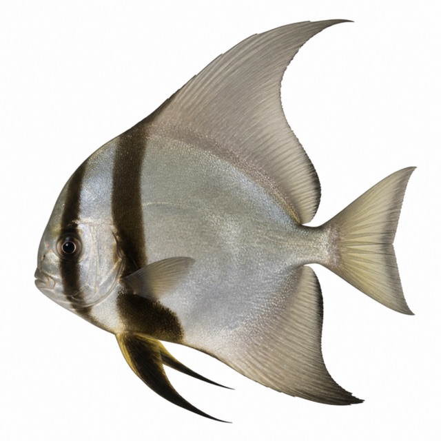
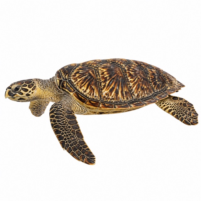
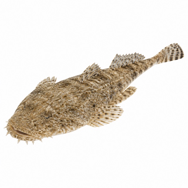
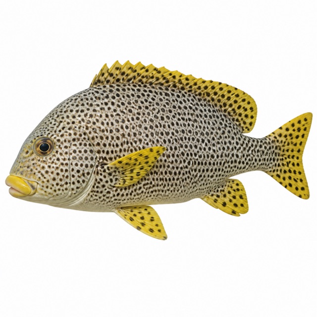
Also mentioned: lionfish, trevallies, fusiliers, soldierfish, sweepers
Hazards
Risk of collapse in some parts; penetration dark and tight; 2-3 groups often inside at the same time
Logistics
About 3 h by boat from Sharm el-Sheikh; better on a liveaboard
Notes and conflicting data
Depths differ between sources (bottom 31-33 m, deck 16-17 m). AOWD recommended by one guide
Sources
- duikersgids.nl · profondità, visibilità
- dive-the-world.com · profondità, brevetto, corrente, logistica
- scubadiving.com · penetrazione, stiva 3
- lonelyplanet.com · profondità, livello
- divebuddy.com · valutazione utenti, profondità
Coordinates source: Wikipedia (SS Thistlegorm)
Temperatures: our averages of data from Open-Meteo (CC BY 4.0). Map and many coordinates: © OpenStreetMap contributors (ODbL).
Data checked on Oct 26, 2026.