
The site map
Catalog site · Mediterranean · Cave or cenote, Statues and archaeology
Isole Tremiti
Tremiti (Foggia), Italy
Approximate position (island, town or area) · 42.1148° N, 15.4871° E
OpenFreeMap © OpenMapTiles © OpenStreetMap contributors
Divers who’ve been here can share their route and photos, each at its depth. You can see them with an account. It’s free.
- Deepest route
- 12m
- Water in November
- 18.6°C
- Certification for the easiest route
- Open Water (down to 18 m)
- Type
- caves, statue
- Access
- By boat
Routes
- Statue of Padre Pio (Capraia)12 m
Open Water (down to 18 m)
Surface water temperature
Best time not found in the sources
2023–2025 average. Below the thermocline the water can be colder.
Species you can see
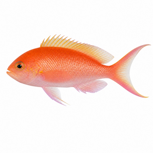 Swallowtail seaperch
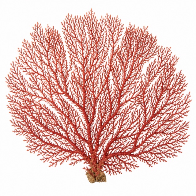 Red gorgonian
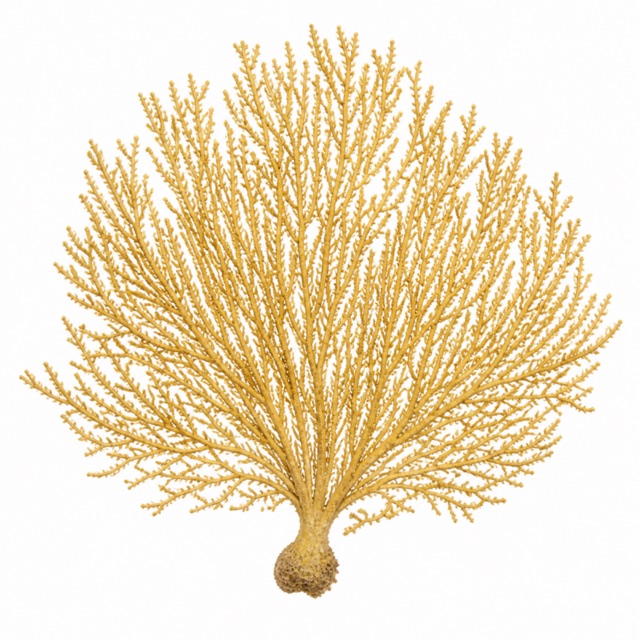 Yellow gorgonian
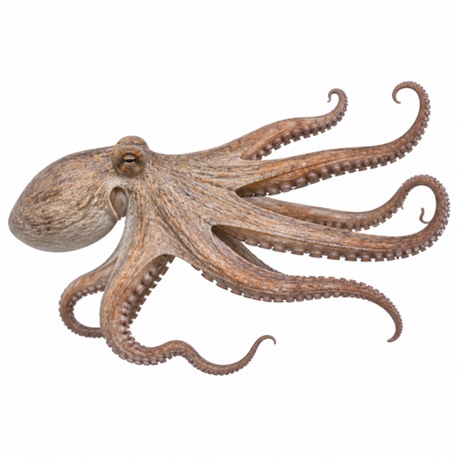 Common octopus
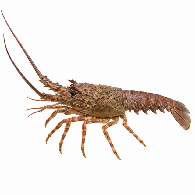 European spiny lobster
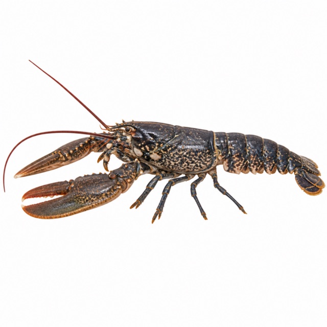 European lobster
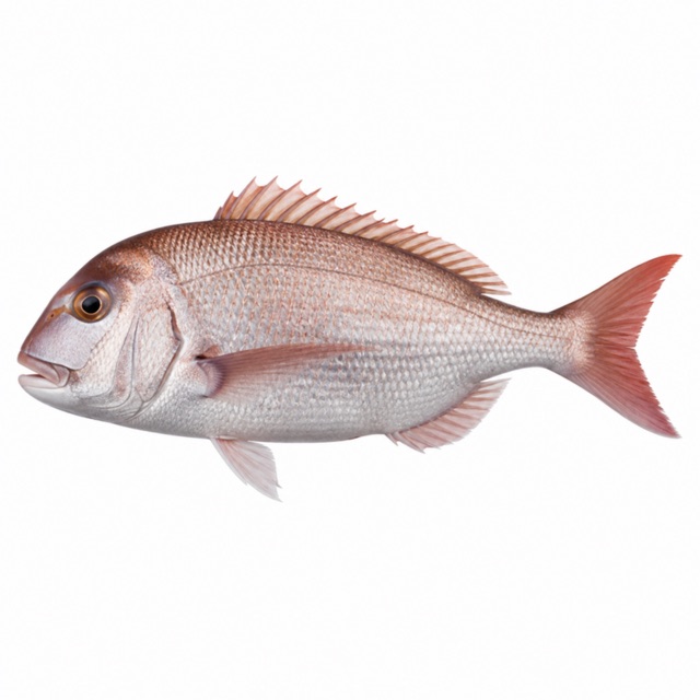 Common dentex
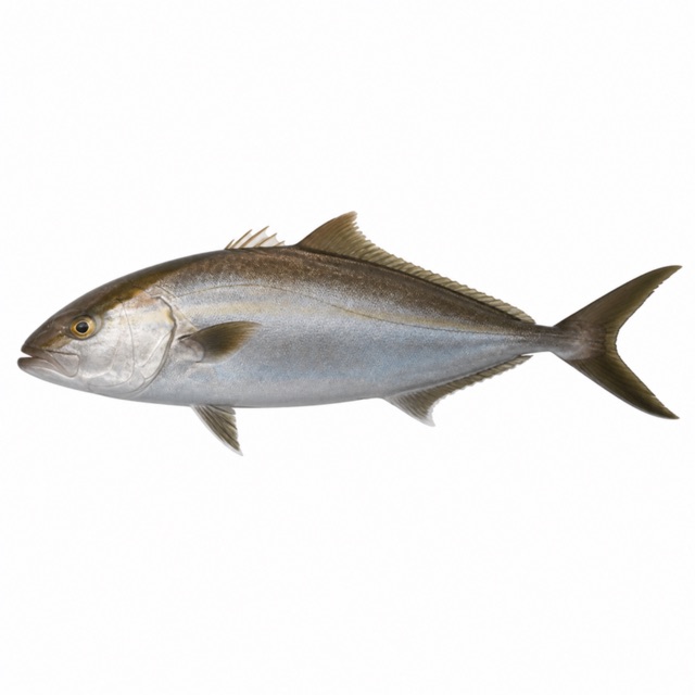 Greater amberjack
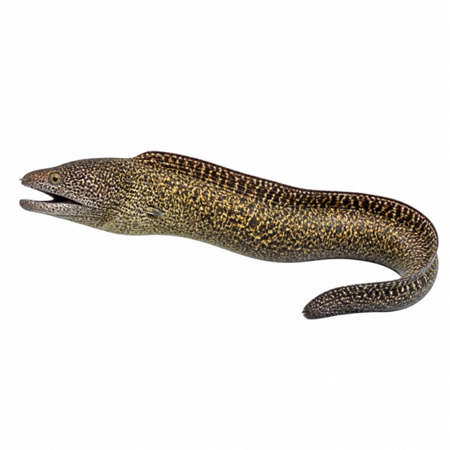 Mediterranean moray
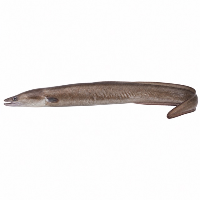 European conger
Also mentioned: groupers, scorpionfish, sea bream, tuna, nudibranchs
Rules, permits and fees
Marine nature reserve since 1989
Notes and conflicting data
Grotta delle Viole (red-violet calcareous algae), Cala del Caffè, Nave delle Tegole, Galea Turca
Sources
- spiagge.it · grotte, riserva
- travel.thewom.it · statua, siti
- padi.com · Tremiti: anthias, gorgonie rosse e gialle, polpi, aragoste, astici, dentici, ricciole, murene, gronghi; cernie, scorfani, saraghi, tonni, nudibranchi
Coordinates source: OpenStreetMap: arcipelago delle Tremiti
Temperatures: our averages of data from Open-Meteo (CC BY 4.0). Map and many coordinates: © OpenStreetMap contributors (ODbL).
Data checked on Oct 26, 2026.