
The site map
Catalog site · Mediterranean · Wreck
Zenobia
Larnaca, Cyprus
Position: exact site · 34.8894° N, 33.6508° E
OpenFreeMap © OpenMapTiles © OpenStreetMap contributors
Divers who’ve been here can share their route and photos, each at its depth. You can see them with an account. It’s free.
- Deepest route
- 42m
- Water in November
- 23.4°C
- Visibility
- 15–30m
- Certification for the easiest route
- Open Water (down to 18 m)
- Type
- wreck
- Access
- By boat
- Entry
- By boat
- Current
- Mild all year
Routes
- Upper side of the hull16–18 m
Open Water (down to 18 m)
According to the sources: Open Water (one source)
- Cargo deck and seabed16–42 m
Technical (beyond 40 m)
According to the sources: Advanced (DivePlannerPro)
Inside (engine room, car decks) wreck/technical certification only
Best time
May-October (one source)
Surface water temperature
Best months to dive: March–October
Source: scubago.com
2023–2025 average. Below the thermocline the water can be colder.
Species you can see
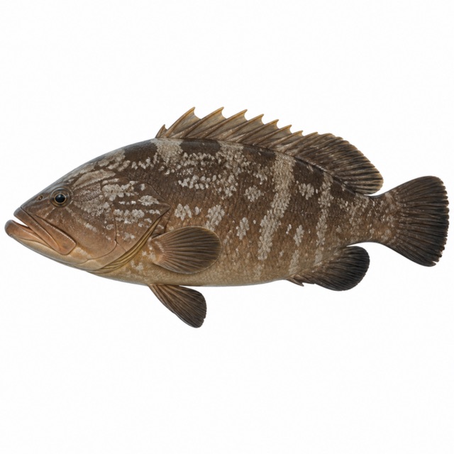 Dusky grouper
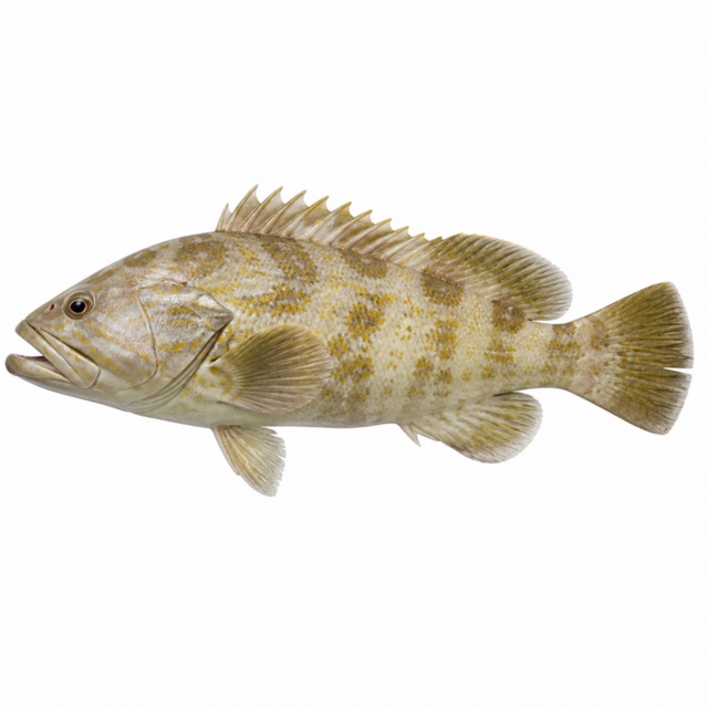 Goldblotch grouper
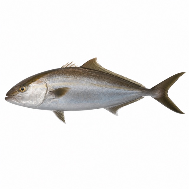 Greater amberjack
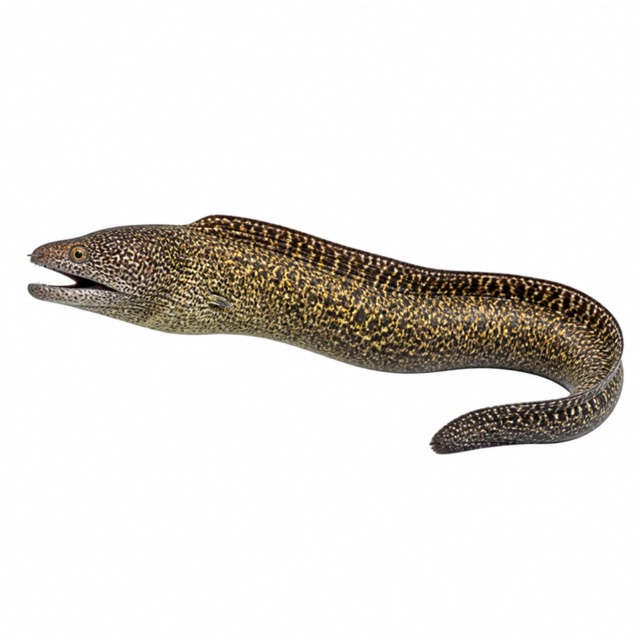 Mediterranean moray
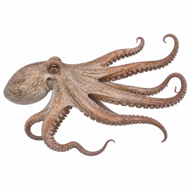 Common octopus
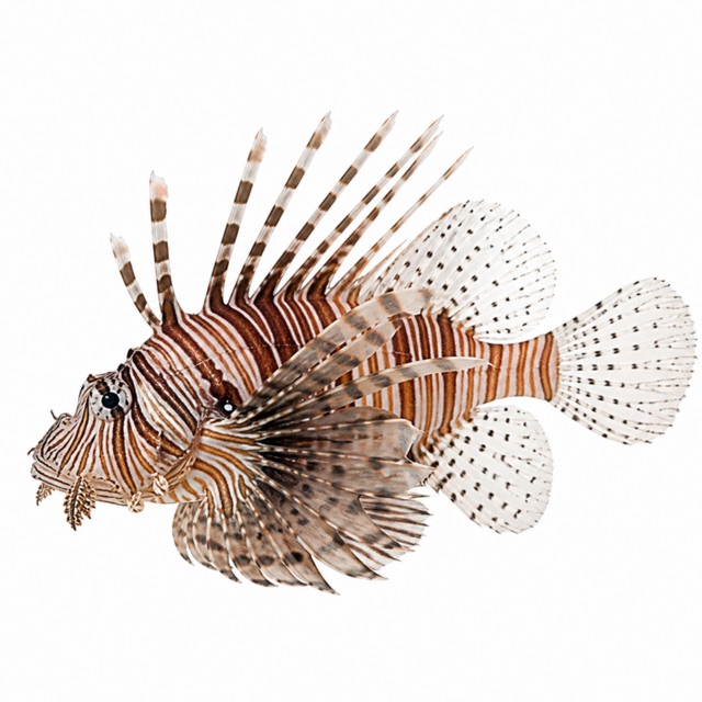 Common lionfish
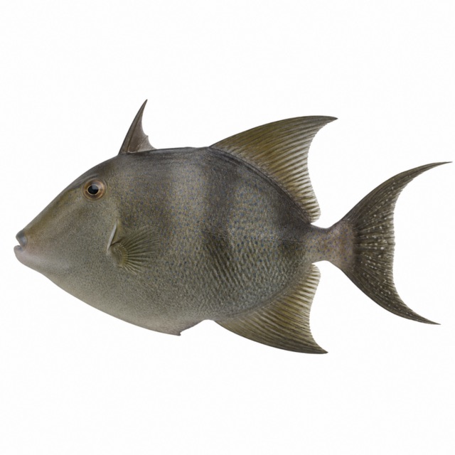 Grey triggerfish
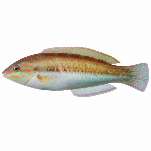 Mediterranean rainbow wrasse
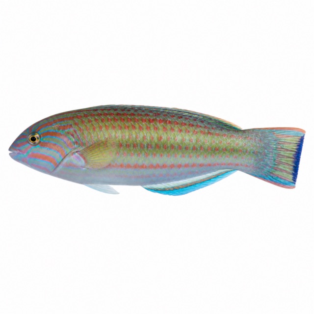 Ornate wrasse
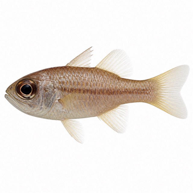 Mediterranean cardinalfish
Also mentioned: barracuda, turtles, nudibranchs
Hazards
Penetration only with a wreck / technical certification
Logistics
Boat from Larnaca
Notes and conflicting data
Visibility up to 40-50 m according to other sources
Sources
- divetip.com · profondità, livelli
- diveplannerpro.com · brevetto, profondità
- wrecksandreefs.com · visibilità, corrente
- larnakaregion.com · elenco con nomi scientifici: E. marginatus, E. costae, S. dumerili, M. helena, O. vulgaris, B. capriscus, C. julis, T. pavo, A. imberbis; lionfish, barracuda, turtles, nudibranchs
Coordinates source: Wikipedia (MS Zenobia)
Temperatures: our averages of data from Open-Meteo (CC BY 4.0). Map and many coordinates: © OpenStreetMap contributors (ODbL).
Data checked on Oct 26, 2026.